Buġibba Map: How the Resort Fits Together for Visitors
A visitor's map guide to Buġibba, showing where the square, the seafront promenade to Qawra and the main bus connections sit for planning on foot.
On this page
Buġibba is a zone within St Paul's Bay local council on Malta's northern coast, sitting directly next to Qawra, so a map search for the resort will often return Qawra or St Paul's Bay results instead. Treat the two as one built-up strip on the map and the layout becomes simple. This guide fixes the landmarks in place, from the square and Gillieru Harbour to the seafront promenade, the named beaches and the bus connections that take you further afield.
What the Buġibba map shows at a glance
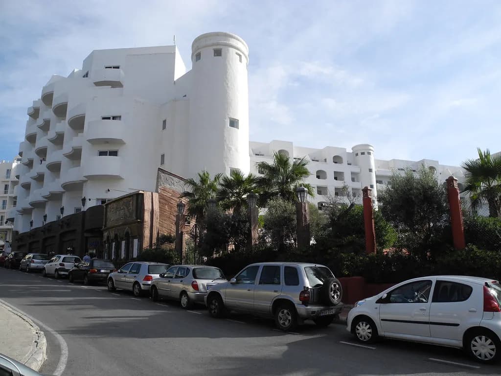
On a map, Buġibba reads as a coastal resort rather than a walled village: a dense grid of streets behind a seafront, with Qawra continuing alongside and Gillieru Harbour in St Paul's Bay at the far end. It is a tourist resort with numerous hotels, restaurants and bars, and it offers little in terms of culture and history compared with Malta's fortified towns, so plan your map around the waterfront and the bus corridors rather than around monuments.
The scale that matters most is the promenade: the three adjoining villages of Buġibba, Qawra and St Paul's Bay share a seaside walk of about 3.5 kilometres, running from the Salina salt pans on the Qawra side to Buġibba square and Gillieru Harbour. That single line tells you whether a hotel, café or bus stop is a short stroll or a proper walk.
If your search returns a pin for Buġibba Square in St Paul's Bay, that is the right anchor for the resort's centre rather than a separate village.
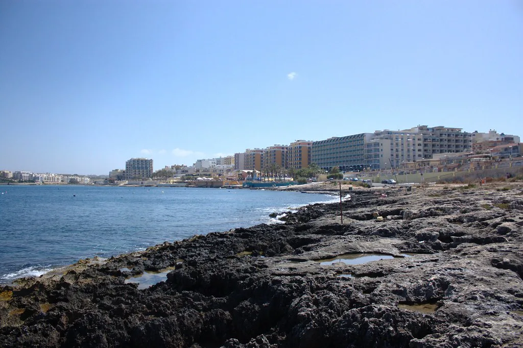
Buġibba Square and Gillieru Harbour
Buġibba Square is the natural starting point for getting your bearings on foot. The promenade is described as running from the Salina salt pans at the Qawra end to Buġibba square and Gillieru Harbour at the St Paul's Bay end, which makes the square the pivot between the two halves of the resort.
Gillieru Harbour sits in St Paul's Bay at one end of the waterfront, at the opposite end of the promenade from the Salina salt pans on the Qawra side. Use the two as your reference points: Buġibba Square towards the middle, Gillieru Harbour with St Paul's Bay at one end, and the salt pans away at the Qawra end.
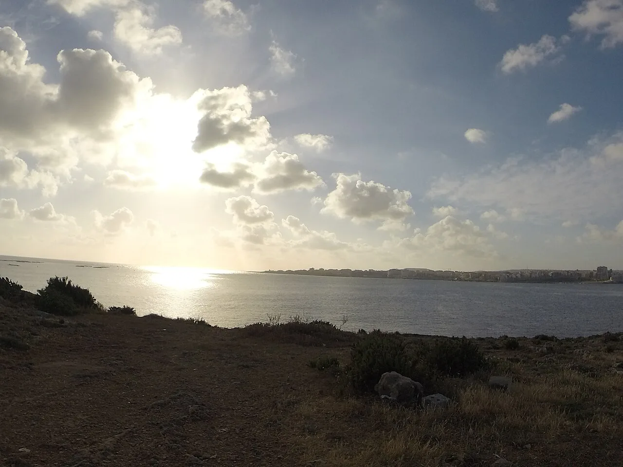
The seafront promenade from Qawra to Buġibba Square
The waterfront is one continuous walk, which is why the promenade length is the most useful number on the map. Three and a half kilometres end to end means a base near Buġibba Square puts the St Paul's Bay end within reach, while staying towards Qawra puts the salt pans and the eastern end of the walk closer.
Qawra's own landmarks sit along the same waterfront, and the Qawra side of the map is set out separately if you want to plan that half in more detail.
Buġibba Perched Beach and Ta' Fra Ben Beach on the map
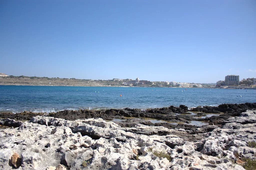
Two named swimming spots appear on the Buġibba and Qawra map: Buġibba Perched Beach and Ta' Fra Ben Beach. Buġibba's beach is artificial and sandy, which is worth knowing when you are reading the shoreline on a map and expecting a natural bay.
Ta' Fra Ben is one of the named swimming spots on this stretch of coast alongside the artificial sandy Buġibba Perched Beach; the wider set of Qawra landmarks is mapped out separately.
Getting your bearings: buses to Valletta, Mdina and the airport
Buġibba is well connected by public bus routes, with direct services to larger beaches and to places such as Mdina and Valletta, which is the main reason the resort works as a base for seeing the island. Plot the bus corridor on your map before you book anywhere, because a short walk to the right road can save a long hike with luggage.
From the airport, the bus journey to Buġibba takes roughly 45 to 60 minutes. Allow for that on arrival day rather than assuming the resort is next to the terminal.
For travel planning, note that Buġibba is well connected by bus, and the resort's own evening scene is limited mostly to pubs and bars with a few nightclubs in summer. Check the current route and stop information with the operator on the day you travel.
Arriving by car and where parking gets difficult
Driving into the resort brings one clear constraint: parking can be a real headache, particularly in summer, so a map plan built around the car will need slack in it. If you are hiring a car for day trips inland, treat the vehicle as something to park once and leave rather than something to circle the seafront in.
An airport transfer is listed alongside the bus as a way to reach the resort, and it removes the parking question from arrival day entirely.
Buġibba or Qawra: does it matter which side of the map you pick?
Buġibba and Qawra are so similar in character and so closely adjacent that it makes little practical difference which side of the map you choose. Both have a selection of hotels and resorts across budgets, mainly three- and four-star, and both sit on the same promenade.
The one real trade-off is seasonal: Buġibba is quiet in winter and busy in summer, and it is very much a summer destination. If you are visiting outside the season, choose the resort as a transport base for exploring the islands rather than as a place to fill your days locally.
Where the choice does matter is food and evenings: Buġibba Square and Gillieru Harbour anchor the waterfront, and the local restaurant scene has its own guide.
Which end of the promenade should you base yourself?
Base yourself near Buġibba Square if you want the harbour, the restaurants and the St Paul's Bay end within a short walk. Choose the Qawra side if you would rather be closer to the salt pans and the eastern end of the waterfront, and accept that the square is then a longer stroll away.
Whichever end you pick, plan around two facts from the map: the promenade runs about 3.5 kilometres end to end, and parking is hardest in summer. A base near a bus route solves both, and the Qawra side is an equally workable choice on the same waterfront.
Explore more Qawra guides
Frequently Asked Questions
Is Buġibba a town in its own right?
Buġibba is a zone within St Paul's Bay local council in Malta's Northern Region, next to Qawra. Map searches can therefore return Qawra or St Paul's Bay pins for the same built-up area.
How long is the Buġibba seafront walk?
The shared promenade linking Buġibba, Qawra and St Paul's Bay runs about 3.5 kilometres from the Salina salt pans to Buġibba Square and Gillieru Harbour.
Can I reach Valletta and Mdina by bus from Buġibba?
Direct bus routes run from the resort to places such as Mdina and Valletta. Confirm the current route and stop with the bus operator before you travel.
Sources
Notes for your Malta trip
Optional updates when we add or correct a Malta or Gozo guide.
You might also like

Continue reading
More guides you'll find useful