
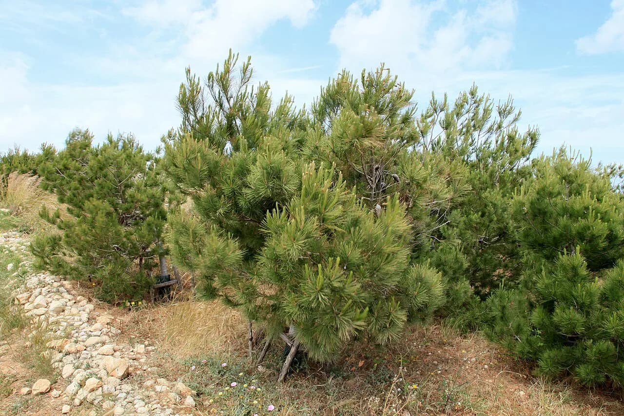
Xrobb l-Għaġin: the nature park on Malta's south-east tip

Xrobb l-Għaġin is worth a half-day if you want wild coastal scenery, a scatter of ancient and military remains and a quiet walk well away from Malta's busier sights. It suits walkers and travellers who prize solitude over facilities, and it is awkward for anyone wanting restrooms, smooth paths or a sandy beach. This guide covers where the peninsula sits, how to get there by bus or car, what you are actually looking at on the point, how long to set aside and the rules for the free Wildlife Rehab Centre tour.
The headland forms the south-eastern most point of the Maltese Islands, a 1 km² peninsula topped by a flat plateau that tilts slightly south. It lies on the coast near Marsaxlokk, and the wider area's sights are gathered in the Marsaxlokk Attractions: 4 Visitor Guides collection if you want to build a day around it.
What and where Xrobb l-Għaġin is
The peninsula is a flat-topped shelf of rock pushing into open sea, with the nature park protecting more than fifteen hectares given over to wildlife, renewable energy and quiet study. Its modern buildings began life as an international radio relay station before becoming the heart of the park. The site's draw is the combination: sea views, a rough trail and layers of history packed onto one remote point.
This is a place to walk and look rather than a landscaped attraction. The environment is exposed and the ground is uneven, so sturdy shoes matter more than a picnic blanket. If you are weighing it against the harbour itself, the Things To Do In Marsaxlokk guide covers the village end of the day.
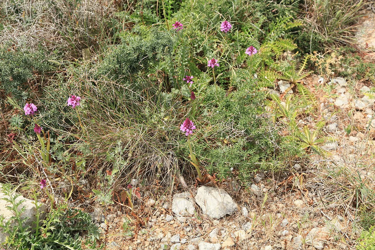

Getting there by bus or car
There is no bus stop at the point itself. The nearest approach on foot is from the Marsaxlokk–Delimara stop, roughly 1.6 km away and about a 20-minute walk on route 119. Stops on the Marsaskala side are similar distances, around 1.6 to 1.7 km and 20 to 21 minutes, served by routes 91, N91, 119, 124, 135, 191 and 204.
By car the approach is straightforward and parking is available, which makes driving the simplest option if you have a vehicle. Expect the final stretch to be rough underfoot whichever way you arrive, and allow for the walk back at the end of the day rather than counting on a lift from the gate.

The temple remains, the watchtower and the old radio station
Three separate things sit on the point, and knowing which is which makes the visit. On the tip stand the remains of a megalithic temple built between 3600 and 3000 BC; it was first identified in 1913 and excavated soon after, and investigations in 2015 showed that much of it survives, along with a second, previously unknown megalithic structure nearby.
A ruined watchtower of the Knights stands not far off, a reminder that this coast was watched long after the temple builders. The large modern building on the headland is the former radio relay station, now the base for the park's work. Look for all three as you walk the plateau rather than expecting signposted ruins in a fenced enclosure.
The prehistoric layer here belongs to the same temple-building world as Tas-Silġ, the sanctuary site on the other side of Marsaxlokk bay, so the two make a coherent pairing for anyone following Malta's early archaeology.
The nature park and the Wildlife Rehab Centre tour
The park's Wildlife Rehab Centre takes in injured species including turtles, hedgehogs, snakes and birds. Tours run daily, Monday to Sunday, from 10:30 to 11:30am, and prebooking one week ahead by email to rehab@naturetrustmalta.org is a must, so plan around that lead time.
Send the email before you fix your travel dates around the headland, because the one-week lead time is the constraint on the whole plan. The park's own site sets out the ecology of the peninsula, which is useful background for the walk itself.
How long to allow and what to expect on the ground
Allow two to three hours for the walk out, the circuit of the point and the return, plus the hour for the rehab centre tour if you have booked it. The trail is rough and can be challenging for young children and toddlers, and there are no restrooms or other amenities on site, so plan facilities for before or after.
The headland is open and rocky, with little shelter, so heat and wind shape the visit more than any opening time. Walking routes across the peninsula appear on trail listings if you want a longer loop rather than a simple out-and-back.
Swimming from the rocks
Swimming here is from the rocks into clear, open water, which is why the point appeals to divers and walkers rather than sunbathers. The location is not part of Malta's official bathing water monitoring programme, so there is no water-quality result to consult and the decision is a judgement call based on conditions on the day.
Any sea state, wind or temperature figure you see for the headland is a snapshot that goes out of date within hours, so treat it as background and read the water yourself at the edge. Enter gradually and watch the swell against the rock shelf before committing.
Nearby: Delimara, St Peter's Pool and Marsaxlokk
The peninsula sits close to several other south-coast stops. St Peter's Pool is about 1 km away, St Thomas Bay around 1.5 km and Fajtata roughly 1.6 km, so a morning here combines naturally with the rest of the Marsaxlokk coast.
The Delimara peninsula lies just to the south and holds two of its own attractions worth a separate stop: Fort Delimara, Il-Fortizza ta' Delimara, and the Delimara Lighthouse out towards Delimara Point. Both are close enough to fold into the same drive, though each deserves its own time rather than a glance from the car.
Finish at Marsaxlokk harbour for food and a look at the working fishing boats, which gives the day a comfortable end after the rough ground. The Marsaxlokk Attractions: 4 Visitor Guides collection is the place to start for the village itself.
Who it suits and who should skip it
Come here if you want a quiet coastal walk with real historical layering, sea views and no queue. Skip it if you are travelling with toddlers, need toilets and smooth paths, or want a beach with lifeguards and monitored water.
The honest trade-off is effort against reward: the walk is rough, the facilities are absent and the swimming is unmonitored, but the temple remains, the Knights' tower and the former radio station give the headland a density of interest that a manicured seafront cannot match.
Is the headland worth the walk?
Yes, if you have a car or patience with a 20-minute approach walk and you value a wild, history-rich coastline over facilities. Email a week ahead to book the free rehab centre tour if you want that hour, and keep the rest of the day loose for Delimara and the harbour.
Anyone with young children, mobility limits or a preference for monitored swimming should put the time into the village and the Delimara sights instead. The point rewards preparation more than spontaneity.
Frequently Asked Questions
Is Xrobb l-Għaġin worth visiting?
It is worth it for walkers and travellers who want a wild peninsula with temple remains, a Knights' watchtower and a former radio relay station, plus open sea views. It is less rewarding if you need restrooms, easy paths or calm, monitored water, because the trail is rough, there are no restrooms on site and the water is not part of Malta's official monitoring programme.
Can you swim at Xrobb l-Għaġin?
People swim from the rocks into clear open water, but the location is not part of Malta's official bathing water monitoring programme, so there is no water-quality result to check. Judge the sea state yourself at the edge and enter gradually over the rock shelf.
How do I get to Xrobb l-Għaġin without a car?
Take route 119 to the Marsaxlokk–Delimara stop and walk about 20 minutes, or use the Marsaskala stops served by routes 91, N91, 119, 124, 135, 191 and 204, which are a similar distance on foot. The final approach is rough underfoot, so allow for the walk back.
Do you need to book the Wildlife Rehab Centre tour?
Yes. Tours run daily, Monday to Sunday, 10:30 to 11:30am, and prebooking one week ahead by email to rehab@naturetrustmalta.org is a must, so arrange it before fixing your travel dates around the headland.