Marsaskala Map: How the Town Fits Together for Visitors
Use this Marsaskala map guide to place the harbour, promenade, swimming rocks and St Thomas Bay, and see how the town's layout shapes a half-day visit.
On this page
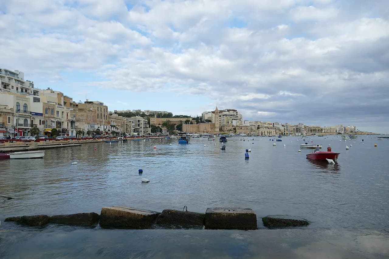
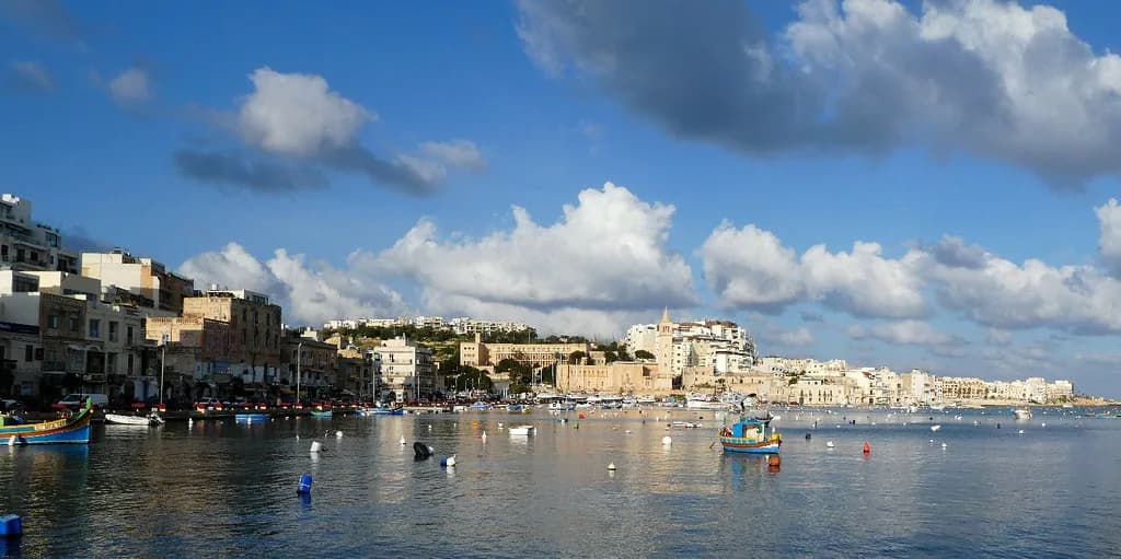
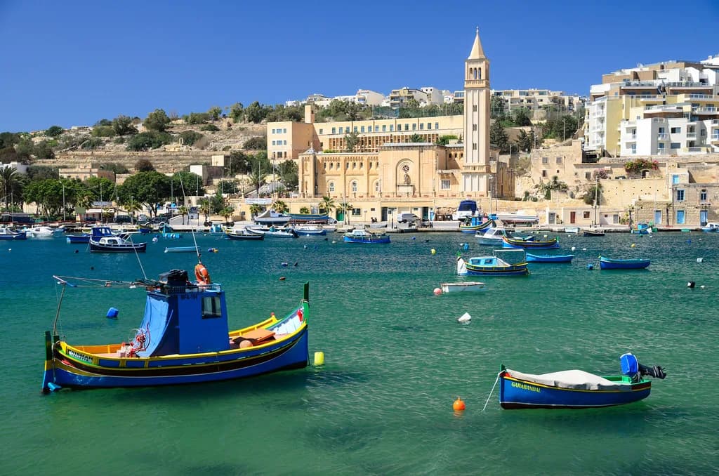
Marsaskala is a seaside town in the southeast corner of Malta, built around a small harbour at the head of Marsaskala Bay, with a waterfront promenade running along the shore. The map you need is simple: harbour head, promenade, rocky shore either side, then St Thomas Bay and Munxar Point further south. This guide places each of those pieces and shows how they fit into a half-day.
Two things shape a visit before you look at any pin. The town sits away from Malta's main tourist areas, so a car makes the rest of the island easier, and parking here is easier than in Sliema or Valletta although it still gets packed.
The shape of the town: harbour head and promenade
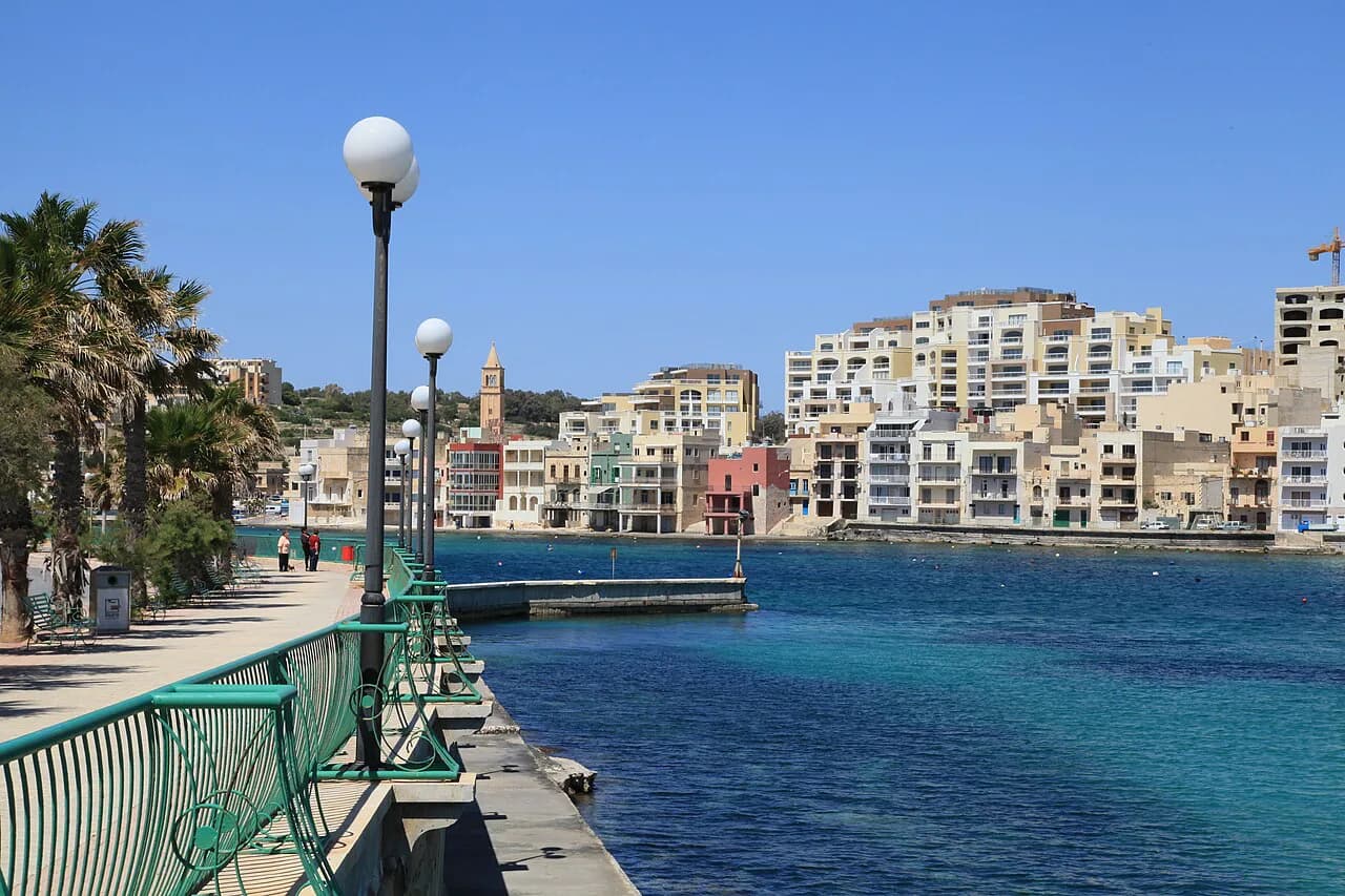
Treat Marsaskala as a bay rather than a grid of sights. The town wraps around the harbour at the head of Marsaskala Bay, and the waterfront promenade follows the shoreline with palm trees, benches and places to sit. The path has been refurbished, which makes it the natural spine for a slow walk.
In the evening the promenade fills with locals eating pizza, drinking soft drinks and watching the sea from the benches. Plan your walk for the cooler end of the day if you want that atmosphere, and use the palm-lined path as your map's main line: everything else in town is either inland from it or along the rocks at its edge.
Reading the map: where the swimming rocks are
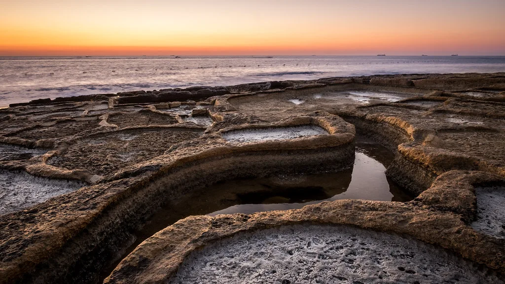
The coast either side of the promenade is mostly rocky, and the ladders fixed into the rock are the entry points swimmers use. The water is clear, so bring snorkelling gear if you want to look under it. The exception is the boat area, which you should keep clear of.
On the map this reads as one continuous waterfront with three kinds of use: harbour and boat moorings at the head, ladders and rock platforms along the promenade edge, and the small sandy beaches further south at St Thomas Bay. If you want sand rather than rock, leave the promenade out of your plan and head for the bay instead.
Getting in and around: why a car helps
Marsaskala's southeast position is the trade-off that matters most. Relying on public transport makes it difficult to get around the island from here, so renting a car is worth considering if Marsaskala is your base for seeing more of Malta. Parking is easier than in Sliema or Valletta, but it still gets quite packed, so arrive earlier in the day if you are driving in.
If you are visiting for a single afternoon rather than staying, keep the car for the town-and-bay loop and walk the waterfront on foot. The town rewards a slow pace: a stroll along the promenade, a swim from the rocks and a meal take less organisation than a day of hopping between distant sights.
St Thomas Bay on the map: two small sandy beaches
St Thomas Bay sits south of town and holds two small sandy beaches, both shallow and safe for children. One is about 7 metres wide, with rocks to swim from on its left; the other is more spacious and sits in front of Zion Bar. Boats share the bay, so stay inside the swimmers' area.
Place St Thomas Bay as the southern anchor of your map and work back north from there. It suits families who want shallow water and sand, and its two small beaches are not crowded with tourists. If you are weighing the town's options more broadly, this is one of the strongest reasons to include the area in your things to do in Marsaskala.
Munxar Point: the arch and deeper water
Munxar Point is the third swimming pin on the map: a limestone arch you can swim through, a rocky beach and ladders, but deeper water. It is the spot to pick only if you are a confident swimmer. The arch gives the point a landmark you can see from the water, so it is easy to place once you are on the shore.
For most visitors, Munxar Point belongs on the map as a viewpoint and a marker rather than a planned swim stop. Treat the promenade rocks as the default, St Thomas Bay as the sandy option, and Munxar Point as the one for strong swimmers who want deeper water.
Using the map to plan a half-day
A half-day works best as a single line: park near the harbour, walk the promenade in one direction, swim from the ladders, then drive south to St Thomas Bay for sand or Munxar Point for deeper water. The promenade is the part you do on foot; the bay and point are the parts you drive to. That split keeps the walking short in the heat and puts the car to use where the distances grow.
If the water is the main draw, put St Thomas Bay first and the promenade second, because the bay's shallow water and swimmers' area suit a longer stay. Then return to the waterfront for food and an evening walk. The restaurants section of the map places the eating options along the same bay, and our guide to Marsaskala restaurants gives you the venues to look for.
What the map will not settle: hours, prices and transport times
A layout map tells you where things are, not when they open or what they cost. Check current opening hours, any entrance charges and bus or driving times before you set out. Flag them in your own notes against each pin so the plan stays honest.
The same applies to anything that runs to a timetable or a seasonal schedule. Confirm it directly with the operator or on the official site rather than relying on a map pin, and leave slack in the half-day in case the drive south takes longer than expected.
Which corner of the bay should you plan around?
Plan around the promenade if you want an easy walk, a swim from the ladders and food within reach. Plan around St Thomas Bay if you want shallow sand and space for children. Munxar Point is the pick for confident swimmers who want the arch and deeper water.
Wherever you base the day, remember the southeast location: a car makes the town far easier, and the promenade's refurbished path makes the walking itself straightforward. Check the current opening times and transport times yourself before you go, then let the map do the rest.
Explore more Marsaskala guides
Sources
Notes for your Malta trip
Optional updates when we add or correct a Malta or Gozo guide.
You might also like
Continue reading
More guides you'll find useful