Marsaxlokk Map: How the Fishing Village and Harbour Fit Together
A visitor's map guide to Marsaxlokk: how the harbour, waterfront and village streets fit together, and which maps to carry before you set out.
On this page
Marsaxlokk is a village on Marsaxlokk Bay, south-east of Valletta, and a map makes immediate sense of it once you treat the harbour as the spine of the place. Find the water first: the quayside runs along the bay, the village streets sit just behind it, and arriving roads feed into that waterfront rather than into a grid of inland blocks. This guide covers how the village and bay read on paper and on screen, which maps are worth carrying, and which visitor questions the layout cannot answer.
The practical lesson is simple: orient yourself by the bay, not by street names. If you know which side of the water you are standing on and where the open sea lies beyond the harbour mouth, you can walk the village with confidence and judge how far you are from the quay at any point.
What the map shows first: the village on Marsaxlokk Bay
Any map of the area puts the bay first. Britannica locates Marsaxlokk as a village in south-eastern Malta, lying along Marsaxlokk Bay, southeast of Valletta, which is the single orientation fact you need before anything else. On a road map or a phone screen, look for the notch of water on the south-east coast and the settlement tucked around its inner edge.
On screen, pin the village and the bay separately. Search results and mapping apps will often drop you on a waterfront pin, which is useful for walking but misleading for arrival, because the roads into the village approach from inland and curve down toward the water.
Once you have the bay fixed, the rest of the settlement is easy to place: the built-up area hugs the shore, and the countryside around it is open enough that the water stays visible from many inland points. That visibility is what makes the village easy to navigate on foot even without a detailed street plan.
The harbour as the spine of the village
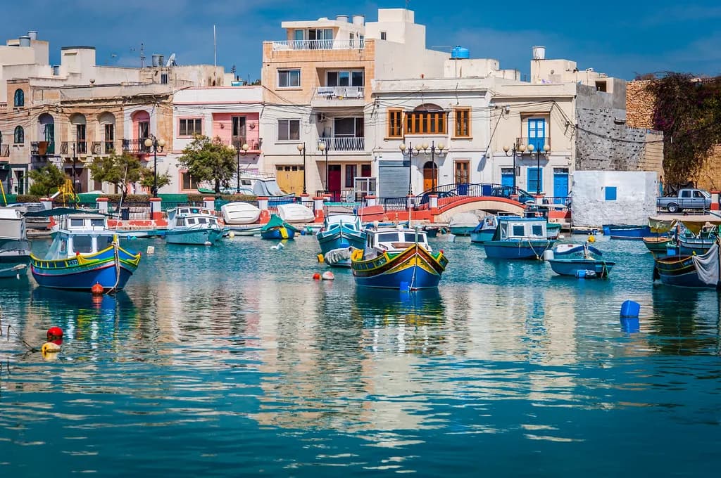
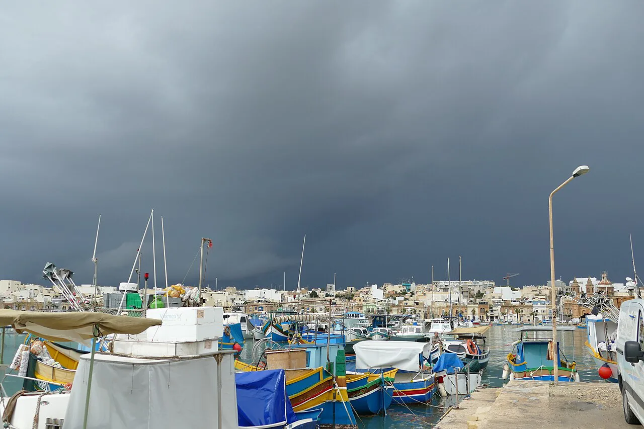
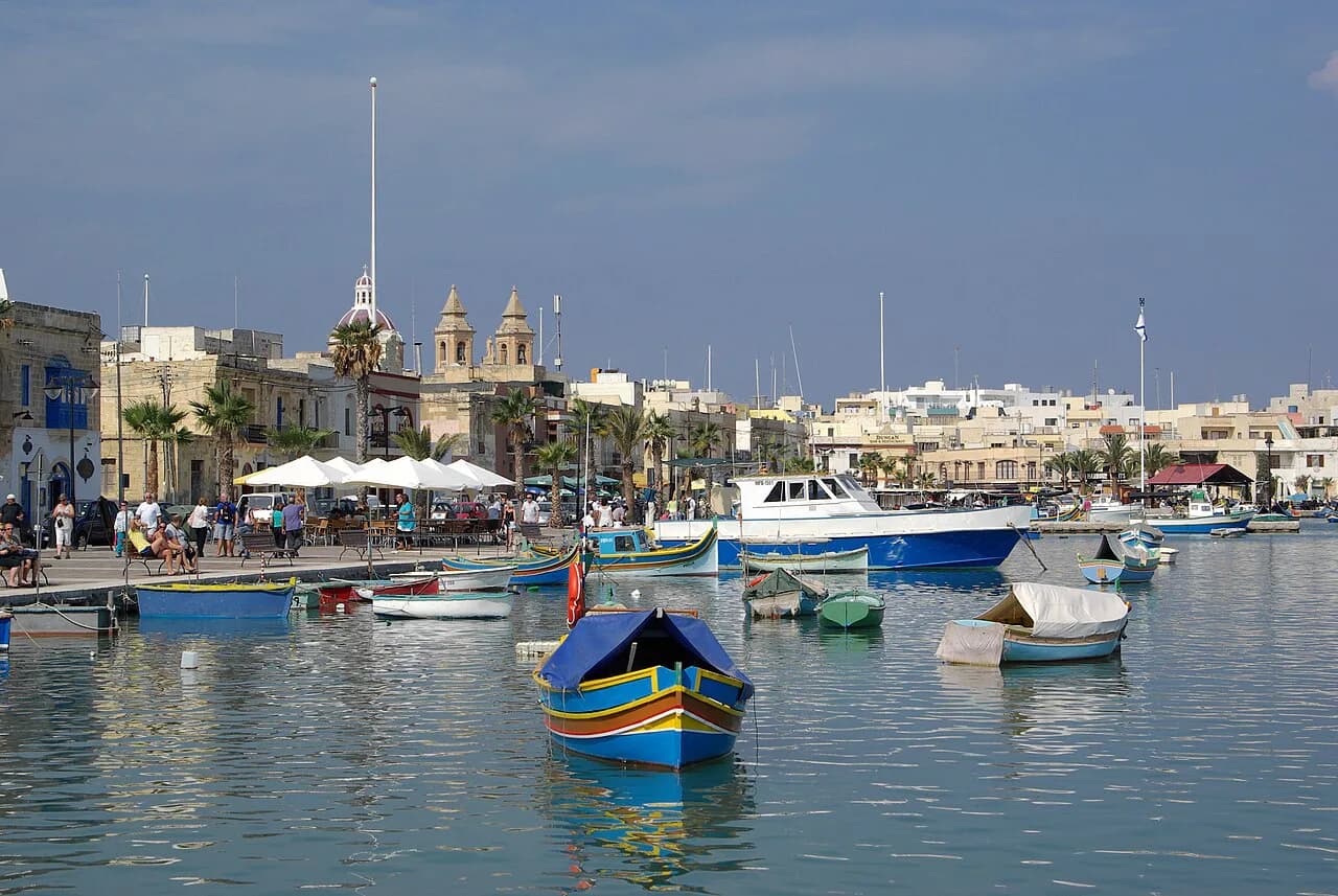
Think of the harbour as a line rather than a point. The waterfront runs along one edge of the bay, with the village behind it, so a walk along the quay takes you past the working boats and the waterfront frontage in a single sweep. Reading the map this way turns a confusing cluster of small streets into a simple out-and-back along the water, with detours inland whenever something catches your eye. That structure also makes the harbour the natural place to start any visit, and the guide to the things to do in Marsaxlokk builds outward from it.
Maps of the village also show the bay as a broad inlet with an open mouth to the sea, and that shape explains the harbour's character. The enclosed feel comes from the land curving around the water, so the quayside reads as a sheltered pocket rather than an exposed coastal strip. If you are planning where to sit, eat or photograph, the inner quay is the obvious anchor.
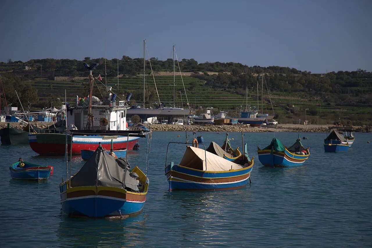
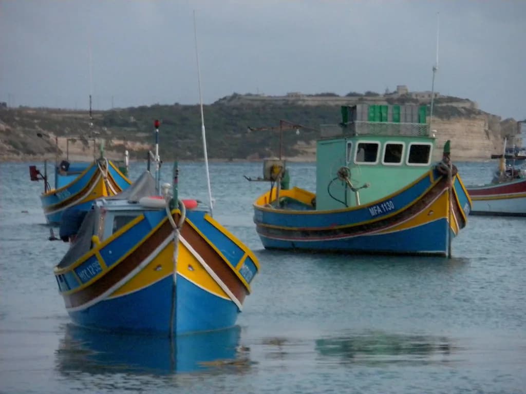
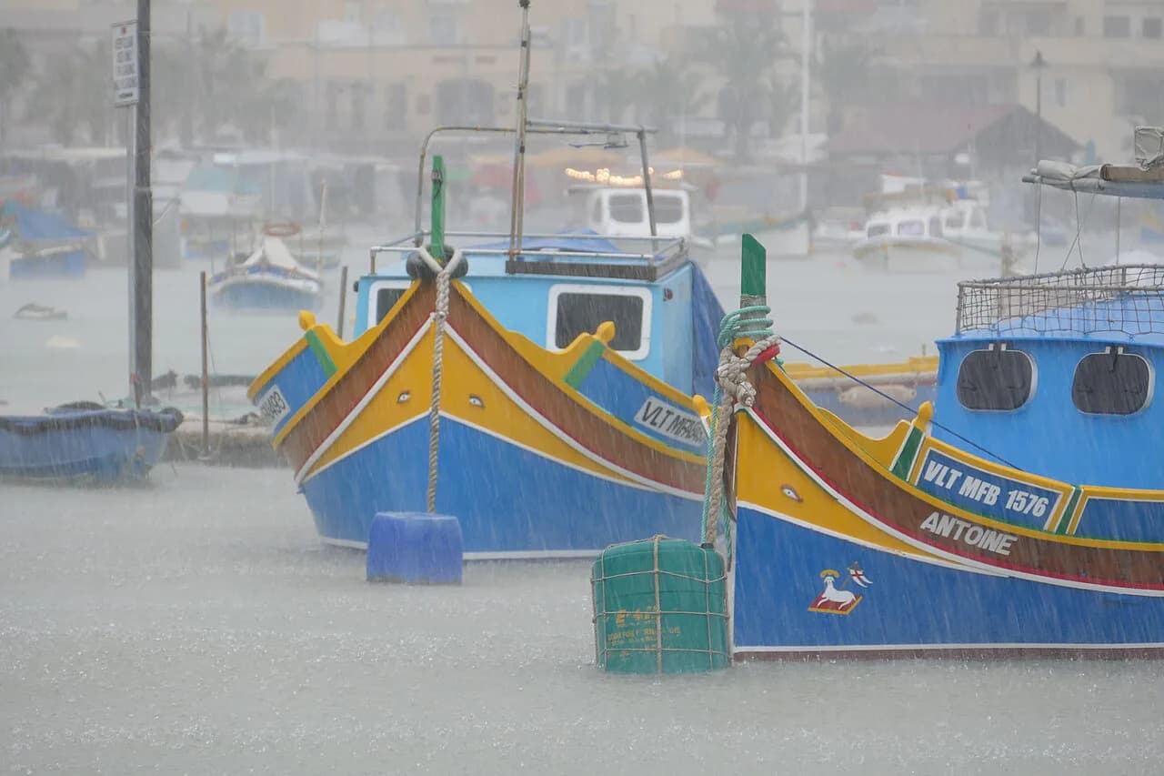
The waterfront is also where the boats gather, and the traditional Maltese dgħajsa, the painted boat visitors associate with the island, is part of the scene you will see from the quay. Mapping the harbour as a spine rather than a single pin helps you plan a walk that takes in the boats, the water and the frontage without doubling back.
Where the open-water chart places the bay
A marine chart gives the bay precise coordinates rather than a vague coastal squiggle, and the Marsaxlokk chart covers roughly the sea between latitudes 35.79 and 35.85 north and longitudes 14.52 and 14.57 east, at a scale of about 1:10,000. For a land visitor, those figures matter less as numbers than as confirmation that the bay is a defined, mapped inlet with a wide seaward approach.
The chart's edition history dates back to the 1990s, so treat it as a record of the bay's shape and a window into how the harbour is laid out, not as current navigational data. If you need up-to-date maritime information, consult current official charts rather than older editions.
The map's value for walkers is the sense of an enclosed bay: the land curves around the harbour, so the quay reads as a pocket rather than an exposed coastal strip. That shape is why the waterfront is the comfortable place to linger, and why the inner quay is the obvious anchor for a walk.
Using the Visit Malta Marsaxlokk A4 map alongside a road map
Visit Malta publishes a Marsaxlokk A4 map as part of its maps collection, and it is worth using alongside a road map rather than instead of one. The Visit Malta sheet gives you the village layout at a readable size, while a road map or mapping app handles the approach roads and the wider island context around the bay.
Michelin also lists a Marsaxlokk map page, which is useful if you want a second cartographic view of the same area and a different sense of scale. Neither sheet gives you opening times, market days or boat schedules, so plan those separately before you travel.
For a quick orientation on a phone, a simple place map that shows the bay and nearby landmarks within a couple of kilometres is enough to get you facing the right way. Open it before you arrive, screenshot the bay, and you have a fallback that works regardless of signal on the waterfront.
The village in the wider island layout
Zoom out and the bay's position on the south-east coast is the key. Marsaxlokk sits south-east of Valletta, and that relationship is the one to hold in mind when judging how the village fits into a day out on the island: the capital lies to the north-west, while Marsaxlokk anchors the south-eastern corner of the coast.
Travellers coming from the north of the island should read the map as a long diagonal run down the east side rather than a short hop from the centre. Set the route in a planning session rather than on the day, and the drive or bus ride becomes straightforward instead of a scramble with a map on your knee.
The wider map also shows how the village relates to the rest of Malta's south-east: open water to the south and east, the capital to the north-west. With that triangle fixed, you can place Marsaxlokk against everything else you plan to see without needing street-level detail.
What a map cannot tell you: market timing, boat trips and prices
A map shows where the waterfront is, not when the market trades. The Marsaxlokk market is a well-known weekly draw, and visitors should confirm the day and times with Visit Malta or the operator before planning a trip around it, because a map cannot answer that question.
Boat trips, restaurant prices and any entry charges are similarly invisible on a plan of the streets. Check with the operator or venue directly, and read the harbour guide before you go if you want the practical detail on what is running and what things cost. Keeping the map for layout and the venue for facts stops you making assumptions from a drawing.
The same caution applies to the wider area: other south-east Malta sights sit within touring range of Marsaxlokk on a map, but whether a given boat trip or site is open on a particular day is something the operator confirms. Use the map to see how places sit together, then check the current facts at the source.
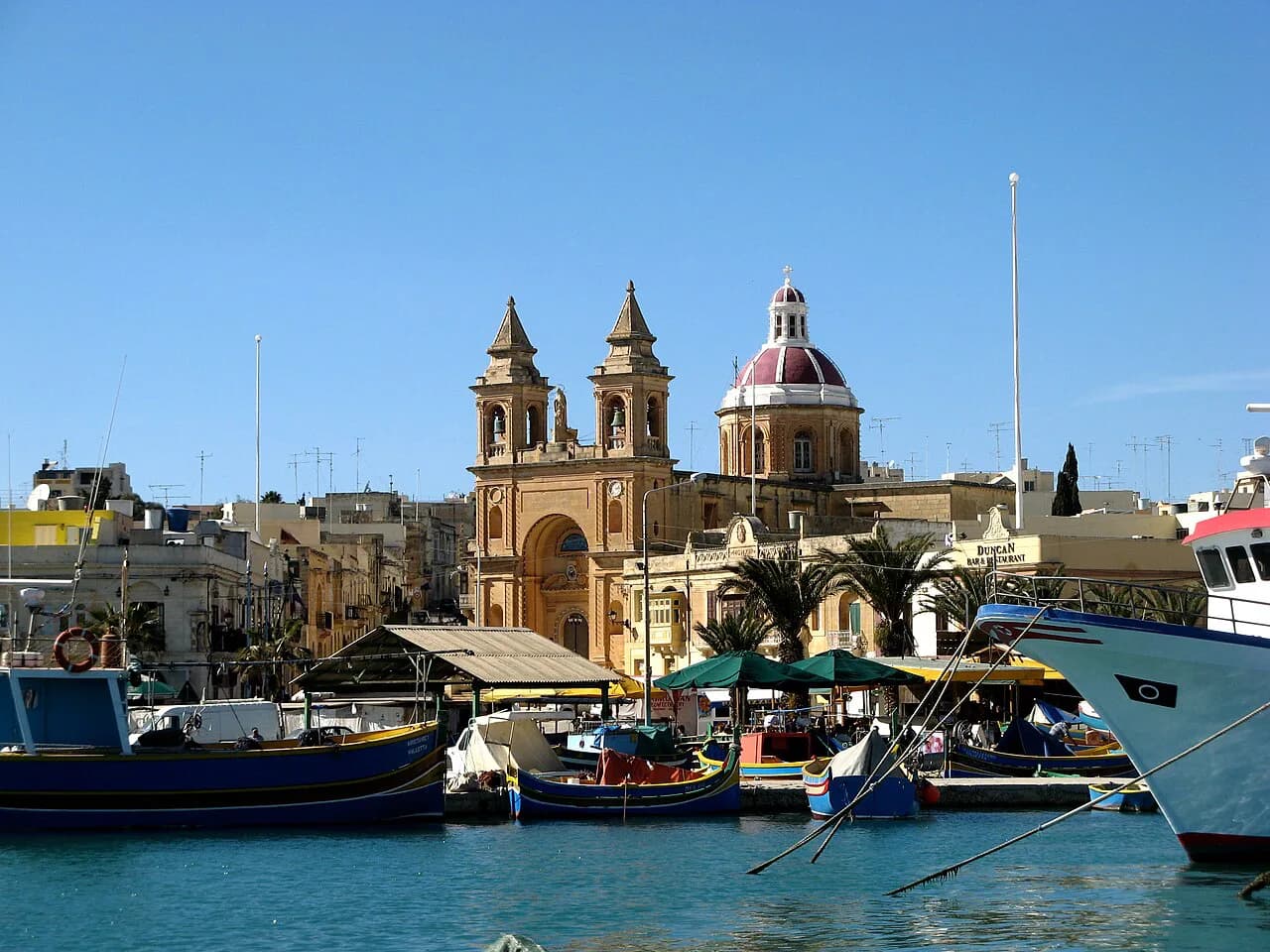
For a full plan of what to see once you have your bearings, the things to do in Marsaxlokk guide picks up where the map leaves off, covering the waterfront, the parish church and the surrounding streets in an order that suits the layout. Use the map to orient, and that guide to decide where to spend the time.
Which map should you carry?
Carry the Visit Malta Marsaxlokk A4 map for the village layout and keep a road map or mapping app for the approach and the wider island context. Together they answer the two questions that matter: where the bay sits and how the streets meet the water.
Then check the time-sensitive facts separately before you travel, because market days, boat trips and prices are not on any map. With the layout in your head and the practical details confirmed, Marsaxlokk is an easy village to walk, with the waterfront as your reference point all day.
Explore more Marsaxlokk guides
Frequently Asked Questions
Where exactly is Marsaxlokk on a map of Malta?
Marsaxlokk is a village in south-eastern Malta, lying along Marsaxlokk Bay to the south-east of Valletta. On an island map, look for the inlet on the south-east coast and the settlement wrapped around its inner edge.
What does the marine chart of Marsaxlokk show?
The Marsaxlokk chart covers the bay area at about 1:10,000 scale, spanning roughly the sea between latitudes 35.79 and 35.85 north and longitudes 14.52 and 14.57 east. Its editions date from the 1990s, so use it to understand the bay's shape rather than as current navigational data.
Sources
Notes for your Malta trip
Optional updates when we add or correct a Malta or Gozo guide.
You might also like
Continue reading
More guides you'll find useful