
Gżira: a Practical Guide to Malta's Harbour District Between Msida and Sliema
)_03_ies.jpg)
Gżira is a harbour town on Malta's east coast, sitting between Msida and Sliema, with Manoel Island attached to its western edge. It suits travellers who want a low-key base within walking distance of the Sliema ferry and a short bus or ferry hop from Valletta, and it does not suit anyone expecting a beach or a resort strip. This guide covers the district's character, its waterfront, the walk to Manoel Island, where to eat and how to get around.
What Gżira is and where it sits between Msida and Sliema
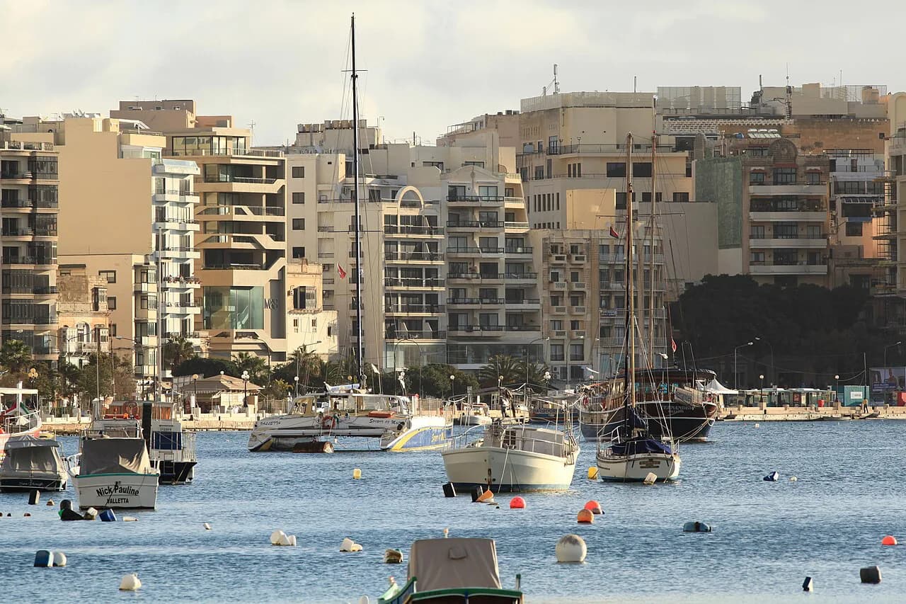
Gżira is a town in Malta's Eastern Region, located between Msida and Sliema, with a population of 12,504 according to the National Statistics Office. That puts it on the same harbour axis as the capital: Valletta lies across Marsamxett Harbour to the north-east, Sliema to the north-west and Msida to the west. The district is compact, and the seafront road and the parallel streets behind it make up most of what a visitor will walk.
The local name is Il-Gżira, and the Maltese letter ż is pronounced like a voiced 'z', so the town is not 'Gzira' in the English sense. Streets and bus stops use the full spelling, which helps when you are checking a route on a map. Free travel maps are published by the Malta Tourism Authority if you want a paper backup for the harbour-side streets.
)_06_ies.jpg)
Who Gżira suits — and who should look elsewhere
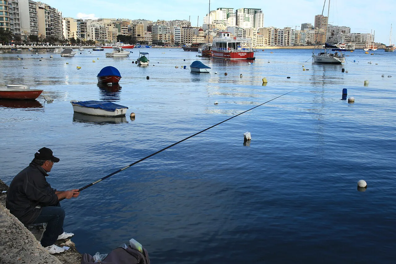
Gżira suits travellers who want a base with easy access to Valletta and Sliema without Sliema's commercial bustle. The Sliema ferry is a short walk or bus ride away, and the walk along the waterfront toward Sliema passes Manoel Island and the Marsamxett Harbour. It also suits anyone who wants a quieter neighbourhood for an evening stroll rather than a promenade packed with bars.
Gżira does not suit anyone looking for a beach holiday or a nightlife-led break. The island's swimming spots and nightlife pages sit outside this district, and there is no beach in the town itself. If you want a waterfront promenade with cafés and shops on your doorstep, Sliema is the better fit, and the Sliema Neighbourhoods: 7 Area Guides covers those options.
)_04_ies.jpg)
The waterfront and Manoel Island
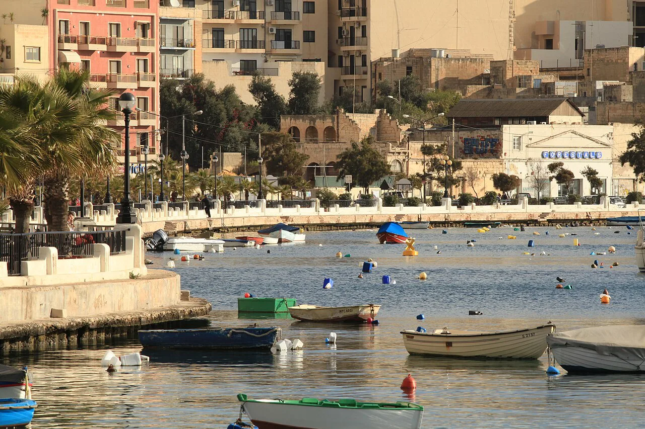
The walkable core of Gżira is the seafront and the causeway that leads to Manoel Island. The island sits in Marsamxett Harbour and is reached from Gżira's waterfront, making it the most obvious short excursion from the district. Manoel Island is named among Il Gżira's attractions, which confirms it as the natural first stop for a visitor working out what to do.
From the Gżira waterfront you get views across Marsamxett Harbour toward Valletta's bastions and toward Sliema. The harbour is busy with ferries and boats, and the promenade is best walked in the morning or late afternoon when the light is softer and the heat is lower. A short walk along the front brings you to the edge of Sliema and the start of the longer Sliema promenade, a 2 km seaside walk that runs from Qui-Si-Sana to St Julian's.
Streets and waterfront: what the district actually offers
Gżira's streets behind the seafront are ordinary residential blocks, shops and offices rather than a historic core; the waterfront itself is the main draw, with its harbour views, boats and the walk toward Sliema. If you want a church to visit, the Church of Jesus of Nazareth in Sliema is nearby and is described as a 19th-century church with harbour views; it belongs to Sliema rather than Gżira.
The walk from Gżira toward Sliema takes you past the point where the two districts meet and on to the Sliema front. Along the way you pass the Sliema ferry terminal, which is one of the most useful crossings in Malta for reaching Valletta without traffic. Sliema's promenade continues north past Balluta and its neo-gothic Carmelite church, and the streets named after British governors and places are in Sliema rather than Gżira.
Eating and drinking in Gżira
Eating in Gżira is mostly local: cafés and restaurants along the seafront road and the streets behind it serve residents and office workers. The practical approach is to walk the waterfront and the parallel streets and see what is open. For a wider choice, Sliema's cafés and restaurants are a short walk or bus ride away.
If you want a named place to aim for, Sliema has the established options: the promenade is lined with cafés and kiosks known locally as gabbanas, and The Point shopping centre has restaurants alongside its shops. Both are in Sliema, not Gżira, so plan the walk or the bus ride accordingly.
Getting to Gżira and onward to Valletta and Sliema
Gżira is reached by road from Msida and Sliema, and the main seafront road routes through toward Sliema. The most useful onward connection is the Sliema ferry to Valletta, which crosses Marsamxett Harbour and avoids the rush-hour traffic on the roads. The ferry is described as a convenient and enjoyable way to travel between Sliema and Valletta, with views of Marsamxett Harbour, Manoel Island and the Valletta bastions.
To the west, Gżira borders Msida, which is Malta's university and harbour town. Msida: Malta's University and Harbour Town covers that side of the axis if you want to walk or take a bus onward. To the north-west, Sliema's Tigné Point is the modern retail and residential end of the peninsula; Tigné Point, Sliema sets out what is there, and the Sliema Neighbourhoods: 7 Area Guides maps the wider area.
Where Gżira sits relative to Sliema and St Julian's
Gżira is the quieter neighbour of Sliema, and the two run into each other along the waterfront. Sliema has the commercial centre, the shopping and the ferry terminal; Gżira has the harbour front and Manoel Island. St Julian's, with Balluta on the way, is further north along the same coast, so a walk or short bus ride connects all three.
That geography makes Gżira a practical base if you want to be near Sliema's amenities without paying for a Sliema address. It is not a destination in its own right for most visitors, but it works as a place to sleep, walk the harbour and catch the ferry. If you want the promenade and shops on your doorstep, stay in Sliema itself.
What to check before you go
Before you go, check the current ferry times and bus routes, since these change with the season. If you plan to walk to Manoel Island, check current access before setting out. For maps, the Malta Tourism Authority's free travel maps are the reliable starting point.
Is Gżira the right base for your Malta trip?
Gżira is the right base if you want a quiet harbour neighbourhood within walking distance of Manoel Island and a short ride from the Sliema ferry to Valletta. It is the wrong base if you want a beach, a promenade of bars or a hotel-centred resort. Decide based on how much you value the ferry crossing and the harbour walk against having Sliema's shops and cafés on your doorstep.
Explore more Sliema guides
Frequently Asked Questions
Is there much to do in Gżira, Malta?
Gżira is a small harbour district rather than a sightseeing hub. The main things to do are walking the waterfront, crossing to Manoel Island and following the coast toward Sliema, where the ferry terminal, promenade and shops are.
Is Gżira a good place to stay in Malta?
It works as a base if you want a quieter neighbourhood close to the Sliema ferry and within walking distance of Manoel Island. It is less suitable if you want a beach or a promenade of bars and restaurants on your doorstep; those are in Sliema and St Julian's.
What is Gżira known for?
Gżira is known as the harbour town between Msida and Sliema, with Manoel Island on its edge and views across Marsamxett Harbour toward Valletta. It is a residential and commercial district rather than a resort.