Sliema Map for Visitors: The Promenade, Ferries and Buses
A visitor's map guide to Sliema: where the town sits on Malta's northeast coast, how the waterfront and Tower Road line up, and which maps to download.
On this page
Sliema sits on Malta's northeast coast in the Northern Harbour District, at roughly 35.91017° N, 14.49773° E, so it faces the water rather than spreading inland like a hill town. That single fact shapes every map of the place: the shoreline is your anchor, and most of what a visitor wants lies along or just behind it. This guide explains how to read Sliema's shape on a map, which line to orient yourself by, and which maps are worth having before you walk.
Where Sliema sits on the Maltese Islands map
On a national map, find Valletta first and then look across the water to the north-east. Sliema occupies that coastal strip in the Northern Harbour District, positioned so that the capital lies across the harbour rather than up the road. Placing those two points together is the quickest way to understand why so much of Sliema's traffic, on foot and on wheels, runs along the water's edge.
Once you have that mental picture, the town's street pattern makes more sense: a long waterfront with a denser grid of streets running back from it. If you are still deciding how to spend your time here, the wider set of things to do in Sliema gives you the context this map page deliberately leaves out. Treat the map as orientation, not as an itinerary.
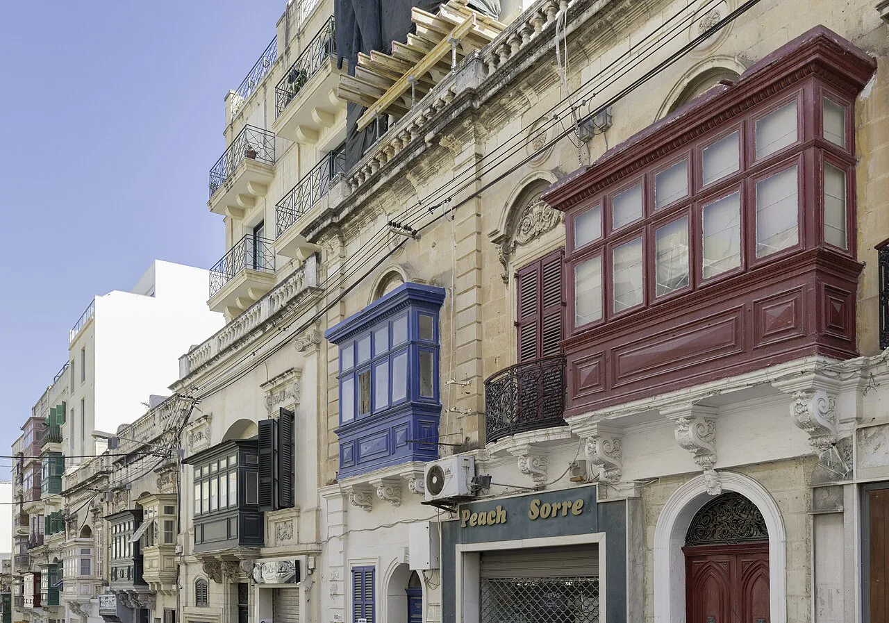
How Sliema is laid out: the waterfront and the streets behind it
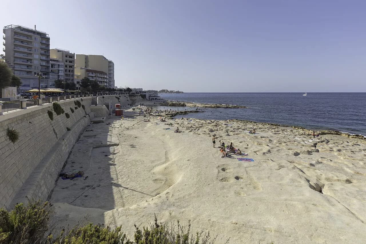
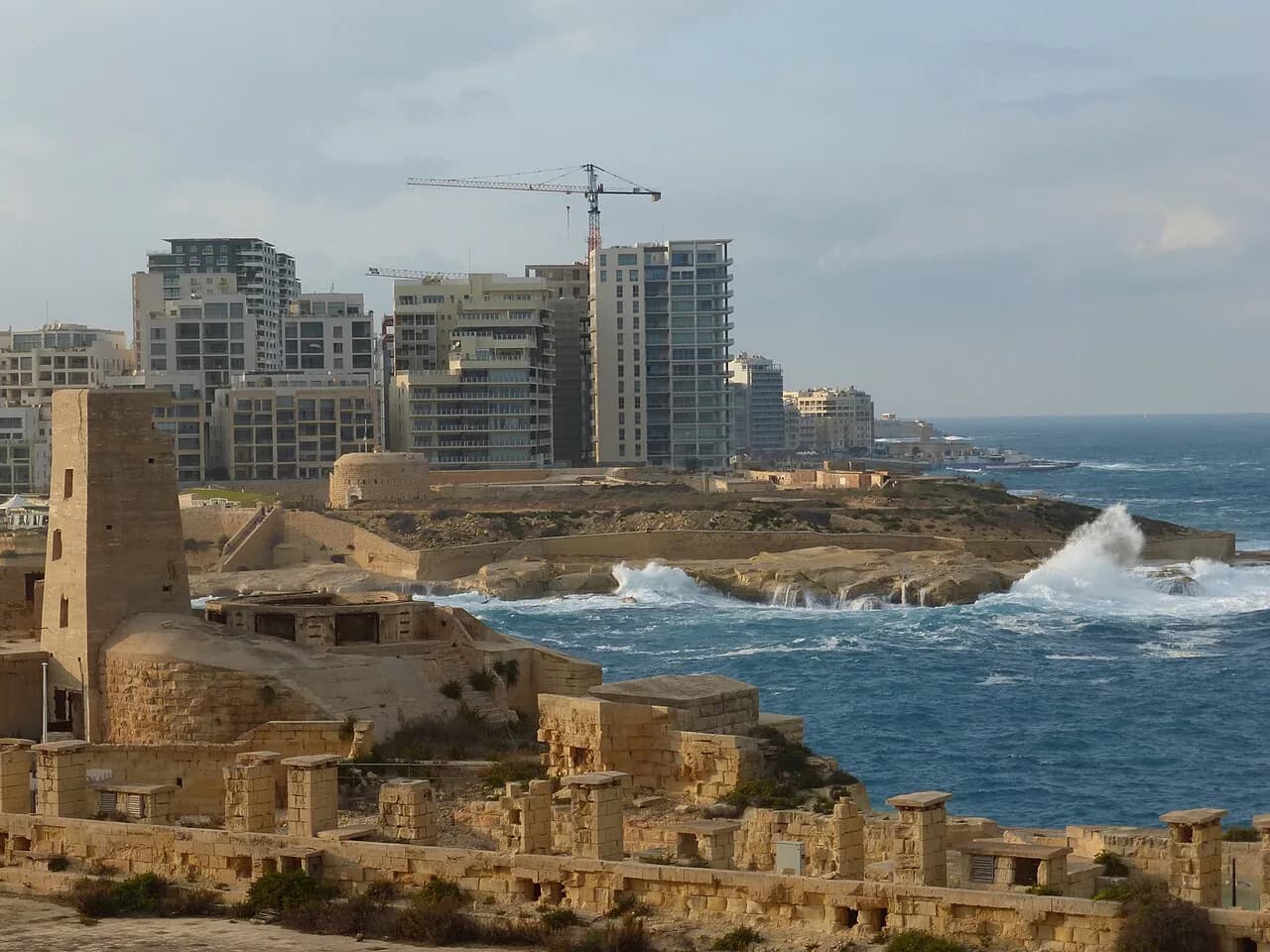
Think of Sliema as two bands. The first is the seafront, where the promenade runs and where most visitors spend their time looking out rather than in. The second is the grid of streets immediately behind it, which is where you find the everyday town: shops, cafés and residential blocks rather than viewpoints.
Mapping your day around those two bands saves a lot of backtracking. Pick your waterfront stretch first, then work inland only for a specific purpose such as shopping in Sliema or a meal, rather than drifting between the two. If browsing is on your list, the shopping in Sliema guide covers the inland stops in more detail than a map can.
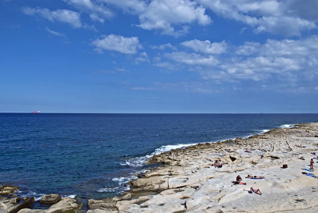
The Sliema Promenade and Tower Road
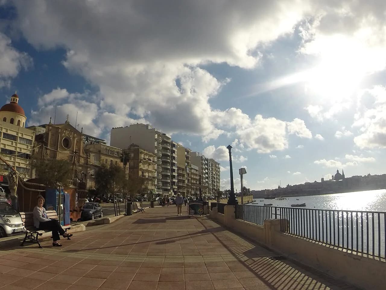
The Sliema Promenade is the name to search for on any map app, and it is listed at Tower Road in Sliema. That gives you a concrete pin to navigate to rather than a vague instruction to head for the sea. Drop that marker before you leave your accommodation and the rest of the waterfront becomes easy to follow on foot.
Tower Road is the spine most visitors end up walking, so use it as the line you measure everything else against: a landmark ahead of you on the promenade is either further along that line or inland from it. For a fuller picture of what the walk itself is like, including how it connects towards Tigné Point and on towards St Julian's, the Sliema promenade guide covers the route properly.
Eating along the waterfront is the other reason people follow this line, and knowing which end you are on helps when you are choosing between options. The Sliema restaurants guide picks out places to eat, including spots close to Tower Road, so you can match a name on the map to a table.
Reading the promenade on a map before you walk it
Before you set off, open the map at a scale where you can see the whole waterfront in one view rather than a single block. At street level every seaside town looks the same; zoomed out, Sliema's curve along the coast becomes obvious and you can see which direction keeps you beside the water.
Note where the promenade meets the inland streets, because those junctions are your natural points to turn back or cut through. Doing this on the map first means you are not stopping at every corner to reorient yourself with the phone in the sun. A paper or offline copy of the same view is worth having as backup.
Maps worth downloading or picking up before you travel
Visit Malta publishes free travel maps for getting around the islands by car, public transport or on foot, and the tourism authority advises consulting a map or guide before you travel. That is the most reliable starting point for an official overview of the area, and it costs nothing to download before you fly.
Visit Malta has also produced a Sliema area map as a digital publication, which is useful for seeing the neighbourhood in one spread rather than piecemeal on a phone. Load it on your device while you still have reliable wifi, then it is there when you are walking. Neither replaces a live map for finding a specific address, but both give you the shape of the place before you arrive.
Using a phone map in Sliema: what to check first
Search "Sliema Promenade" rather than "Sliema" when you want the waterfront, because the town name alone will drop a pin in the middle of the street grid. The promenade listing at Tower Road gives you a precise target, and it is the landmark most useful for meeting someone or starting a walk.
Check the scale bar before you trust a walking estimate, since a coastal town compresses distances along the shore and stretches them inland. If you are staying near the water, most of your day will be short hops along one line rather than long crossings. That changes how much battery and data you need to budget for navigation.
Orienting yourself when you arrive
When you step out, find the sea first. Whichever direction the water lies, the promenade runs along it, and Tower Road gives you a named line to follow until you recognise the landmarks around you. From there, inland streets read as side turns off that line rather than as a separate maze.
If you are weighing up whether the town deserves a slot in your itinerary at all, is Sliema worth visiting sets out what you get and what you trade before you commit a day to it. Read that alongside the map and you will know whether you are planning a quick waterfront stroll or a longer stay.
Which map do you actually need?
For most visitors, two are enough: an official Visit Malta map loaded before you travel for the overall shape of the area, and a phone map pinned to the Sliema Promenade at Tower Road for the walk itself. Add the Sliema area publication if you like seeing a whole neighbourhood at once. Together they cover orientation and navigation without clutter.
Explore more Sliema guides
Frequently Asked Questions
Are Valletta and Sliema the same place?
No. Valletta is Malta's capital and Sliema is a separate town on the northeast coast in the Northern Harbour District, at roughly 35.91017° N, 14.49773° E. On a map they sit close together across the harbour, which is why visitors often pair them in one trip, but they are distinct places with their own streets and waterfronts.
Is Sliema a suburb of Valletta?
Sliema is a town in its own right in the Northern Harbour District rather than a district of the capital. Use the coordinates to place it on a national map, and you will see it occupies its own stretch of coast facing the water.
What should I search for on a map to find the waterfront?
Search for Sliema Promenade rather than Sliema alone. The promenade is listed at Tower Road in Sliema, which gives you a precise pin on the seafront instead of a marker somewhere in the inland street grid.
Sources
Notes for your Malta trip
Optional updates when we add or correct a Malta or Gozo guide.
You might also like
Continue reading
More guides you'll find useful