Mosta Map: Where the Rotunda and Town Centre Sit
A visitor's map guide to Mosta in Malta: where the Rotunda sits in the town, how the centre is laid out and which landmarks sit nearby on the map.
On this page
Mosta is a town in the Northern Region of Malta with about 21,000 residents, and any map of it is organised around one building: the Rotunda, the Sanctuary Basilica of the Assumption of Our Lady. This guide treats the map as a bearings problem, showing where the town sits, how the centre wraps around the basilica, and which landmarks appear on the same view.
Use it alongside our guide to the things to do in Mosta once you have your bearings. Distances on a map are not the same as walking time in the heat, so leave slack for the climb up to the Rotunda and the stop-start of the town streets.
Where Mosta sits in Malta
Mosta lies in the centre of Malta, in the Northern Region, at roughly 35.91° north and 14.42° east. On a national map it sits between the walled city of Mdina and Rabat to the west and the harbour towns of Valletta and Sliema further east.
The town's own map is small in extent: the built-up area is compact and the countryside starts quickly at the edges. That makes an overview map useful for planning a half-day, and a street map useful once you are on foot in the centre.
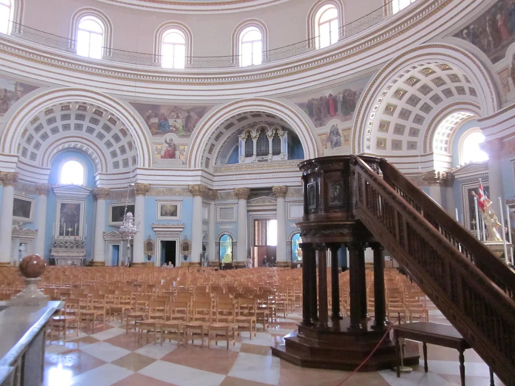
The Rotunda as the anchor point on any map
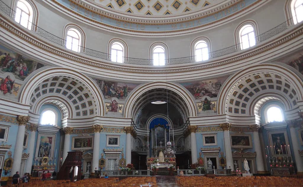
The Sanctuary Basilica of the Assumption of Our Lady, known to visitors as the Rotunda, is the most prominent building in Mosta and the label that identifies the town on maps. If you can see the basilica, you can place yourself.
On map labels the basilica may appear as Assumption of Saint Mary, the Sanctuary Basilica of the Assumption of Our Lady, or the Rotunda. Search for the full name if a short label returns nothing, and use the label to get your bearings rather than to plan a visit to the interior.
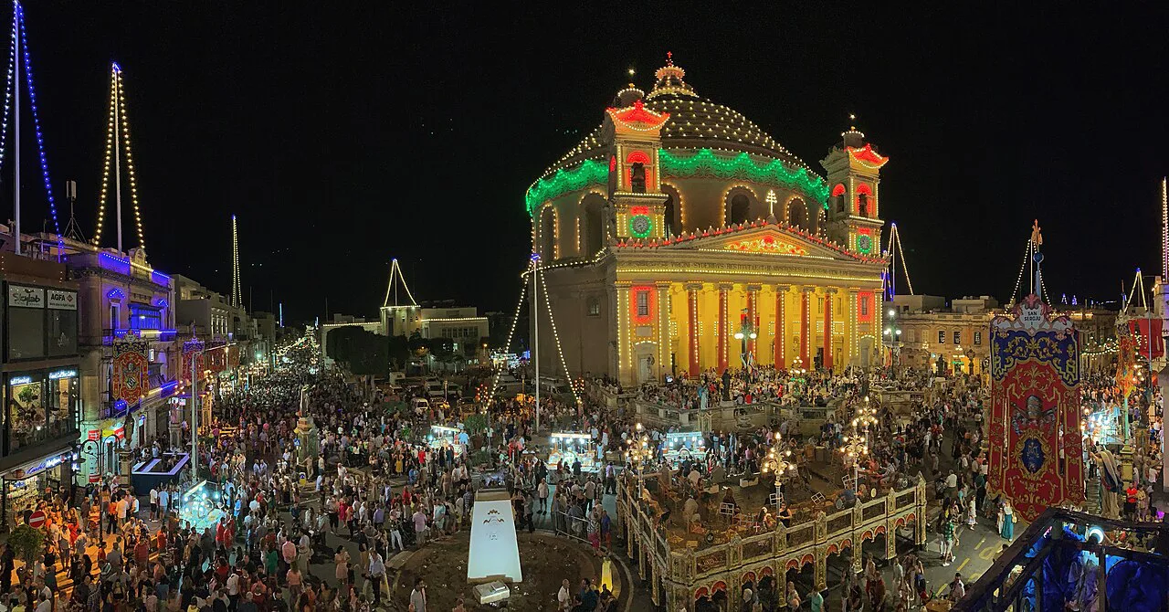
How the town centre is laid out
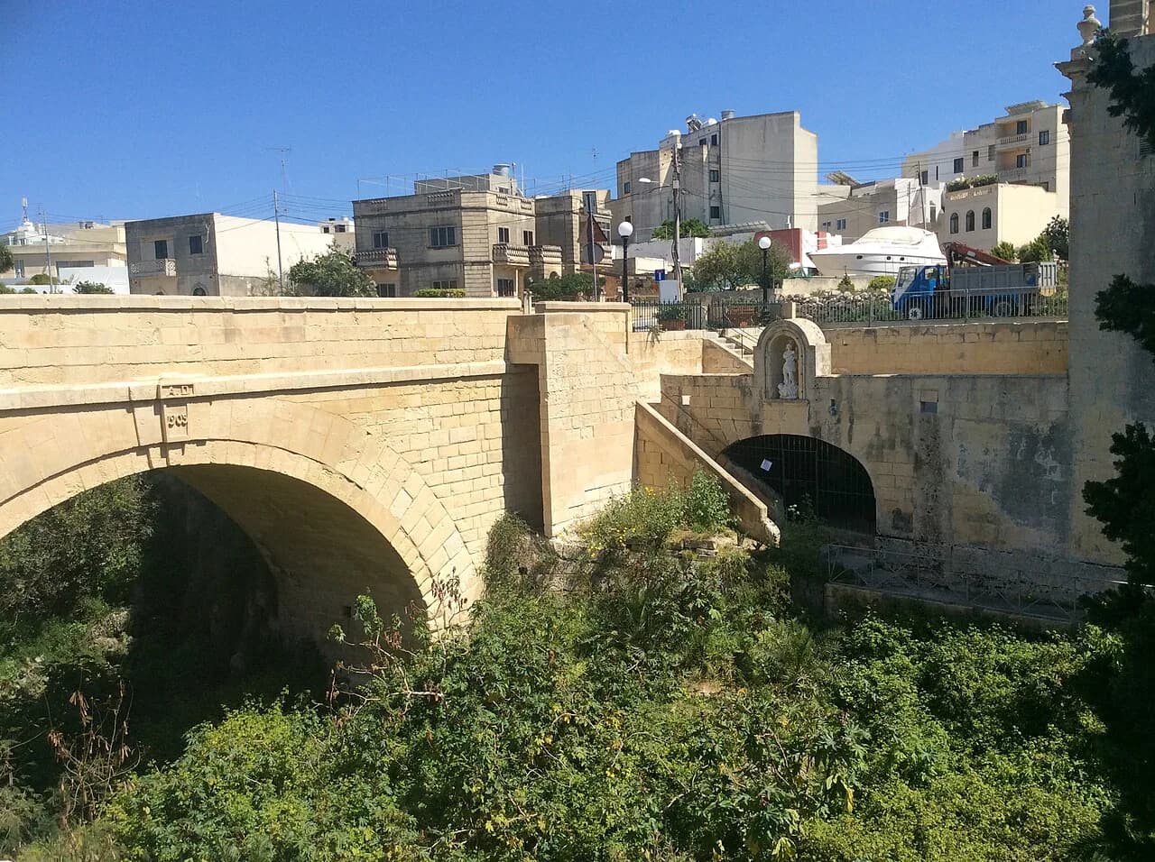
Mosta's centre is a tight cluster of streets and small squares around the basilica, not a grid. Map sources for the town list Piazza San Leonardu as a square and Ta' l-Isperanza Bridge as a nearby crossing; treat both as orientation points rather than destinations on a town walk.
Because the streets radiate rather than run parallel, a satellite view shows the ring of the centre more clearly than a schematic map. Switch to imagery when you want to see where the basilica's forecourt opens onto the surrounding streets, and stay on the street map when you want street names.
Landmarks plotted nearby
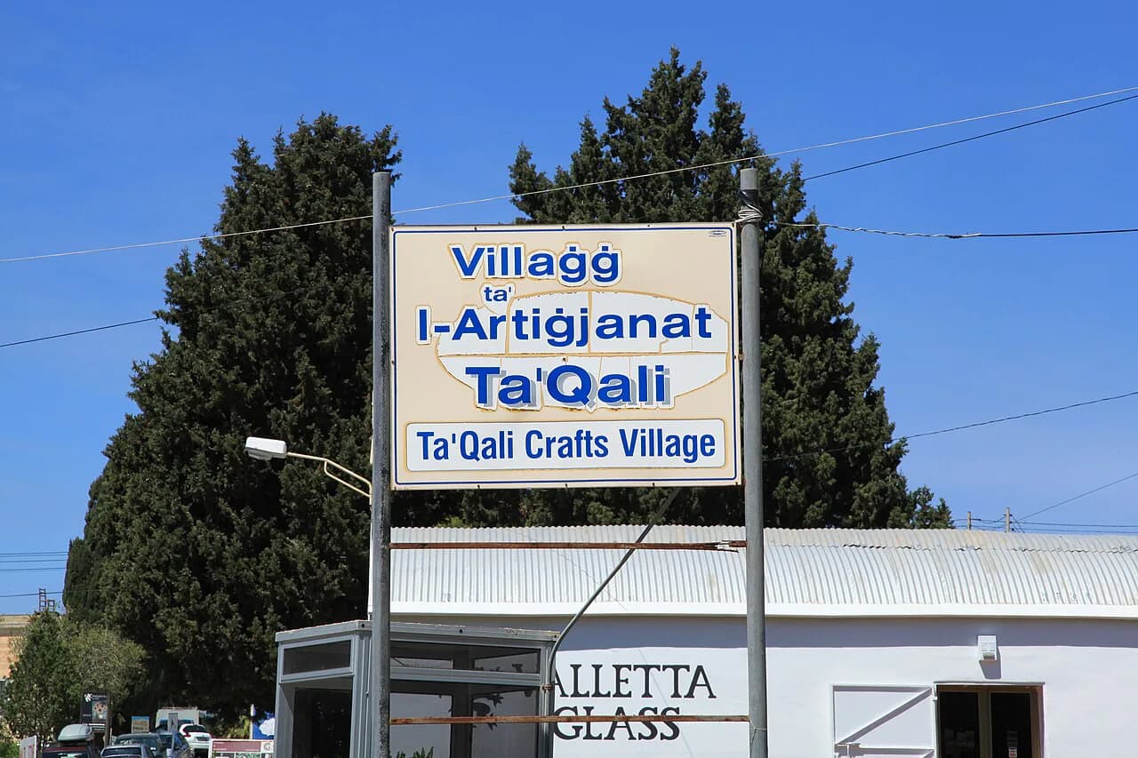
The National Stadium Ta' Qali is one of the plotted highlights close to Mosta, and San Anton Palace sits in nearby Attard. Both are separate places to plan rather than stops on a town walk, so check their own details before setting out.
The Victoria Lines, the defensive line that crosses Malta, and Fort Mosta Bridge also appear among places of interest in the area. If your interest is in the fortifications rather than the town, the Victoria Lines and Fort Mosta Bridge are the labels to search for.
Next stops on the map: Mdina, Rabat, Valletta and Sliema
Mdina, the former capital, and Rabat sit to the west of Mosta and are the obvious next stop on a map loop. Valletta, Sliema and Victoria also appear among the notable places on a broader Malta view, so zoom out before deciding what to add.
Direction matters more than distance here: from Mosta you head west for Mdina and Rabat, and east for the harbour towns. Check the transport for the leg you choose before you commit to the day, because the map will not tell you how long it takes.
Using a map on the ground
A street map or satellite view helps you find the basilica, the small squares and the general shape of the centre. It will not tell you opening times, entry prices or whether a road is one-way, so confirm those separately before you travel.
Map labels also miss the practical detail visitors need most. Search results can be thin for a small town, and directions tools are built for drivers, so use the map for orientation and check schedules, hours and closures through official channels.
Which map view suits which job
Use the overview map to see where Mosta sits between Mdina and the harbour towns, and a street map to walk the centre. When you want to find a specific business or a side street, a search-based map is quicker than scrolling.
Satellite imagery is the best overview of the basilica and its surroundings, while directions are the tool for reaching the town. Each view answers a different question, so switch between them rather than relying on one.
Is the map enough to plan a Mosta visit?
A map will get you to the Rotunda and show you what sits around it, which is most of what a short visit needs. It will not tell you when places open, what they cost or how busy the centre gets, so pair the map with the things to do in Mosta and the Restaurants in Mosta pages.
If your day includes the Mosta market, check the day before you rely on it, and confirm timings and any changes through the organiser's own channels rather than the map.
Explore more Mosta guides
Frequently Asked Questions
What country is Mosta in?
Mosta is in Malta, in the Northern Region of the island of Malta.
Where is Mosta located in Malta?
Mosta sits in the centre of Malta, west of the harbour towns and east of Mdina and Rabat, at about 35.91° north and 14.42° east.
Which landmarks appear on a map near Mosta?
The Rotunda (the Sanctuary Basilica of the Assumption of Our Lady) is the most prominent building in the town and its main map anchor. Nearby labels include the National Stadium Ta' Qali, San Anton Palace in Attard, the Victoria Lines and Fort Mosta Bridge, with Mdina and Rabat to the west.
Sources
Notes for your Malta trip
Optional updates when we add or correct a Malta or Gozo guide.
You might also like
Continue reading
More guides you'll find useful