
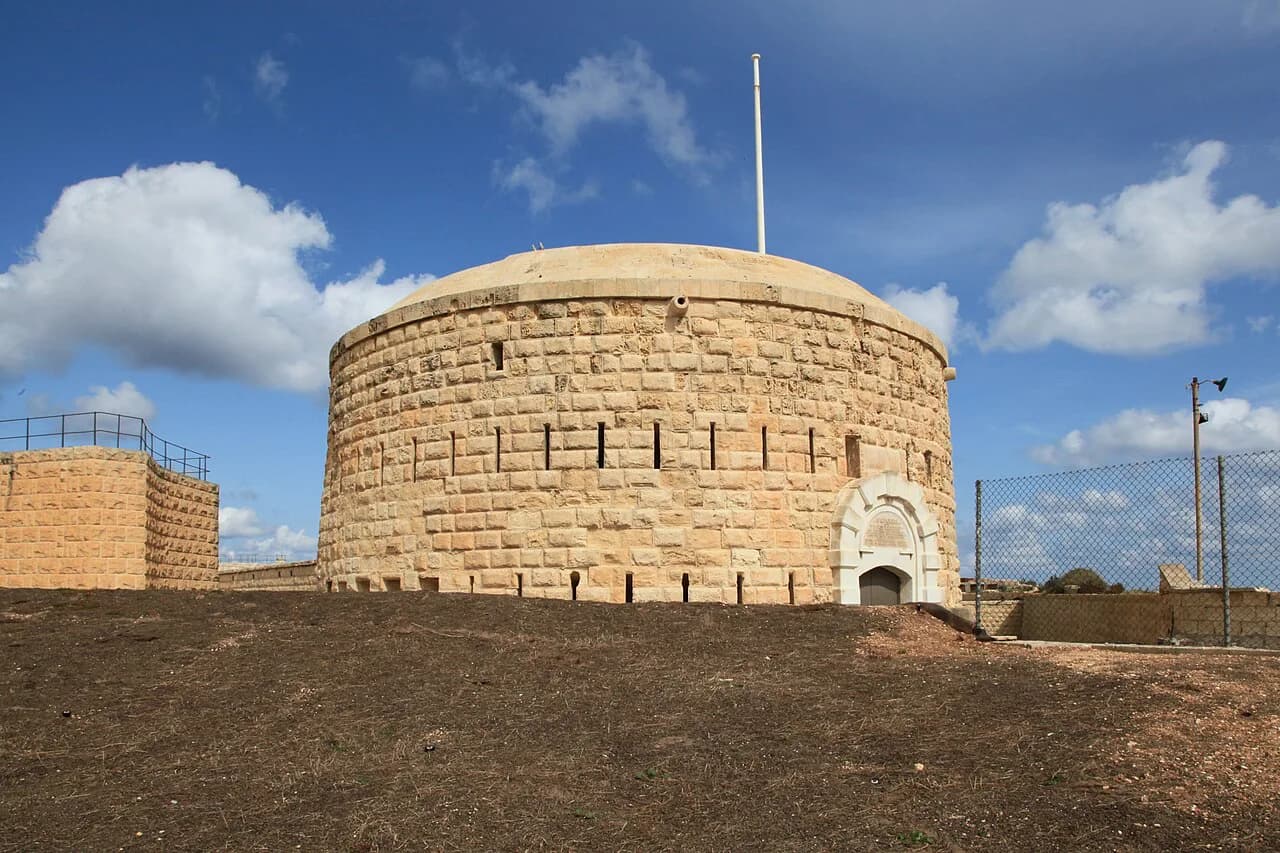
Fort Tigné: the polygonal fort on Tigné Point, Sliema

Fort Tigné is a small polygonal fort on Tigné Point in Sliema, built by the Order of Saint John between 1793 and 1795 to protect the entrance to Marsamxett Harbour. It is a restricted historic site rather than a walk-in attraction, so plan your visit around the exterior, the surrounding batteries and the harbour views. This guide covers where the fort sits, how to reach it on foot or by bus, and what else is worth seeing on the same short circuit of the point.
The point is compact: the fort, Garden Battery, Pjazza Tigné and The Point shopping centre all sit within a few hundred metres of one another. That makes Fort Tigné an easy add-on to a Sliema seafront walk, even if you never get past the walls.
What Fort Tigné is
Fort Tigné is a polygonal fort, a low, angular design that was meant to bring concentrated cannon fire to bear on ships approaching Marsamxett Harbour. Grandmaster Emmanuel de Rohan-Polduc commissioned the Order's engineer Antoine Étienne de Tousard to design it in 1792, and the fort was built between 1793 and 1795.
It was named after Knight François René Jacob de Tigné in recognition of his long service to the Order, and it became one of the last major structures the Order of Saint John realised in Malta.
The fort is smaller than many of the harbour fortifications and reads more like a large redoubt than a full bastioned fortress. Its designer's approach was later reused as a prototype for other polygonal forts.
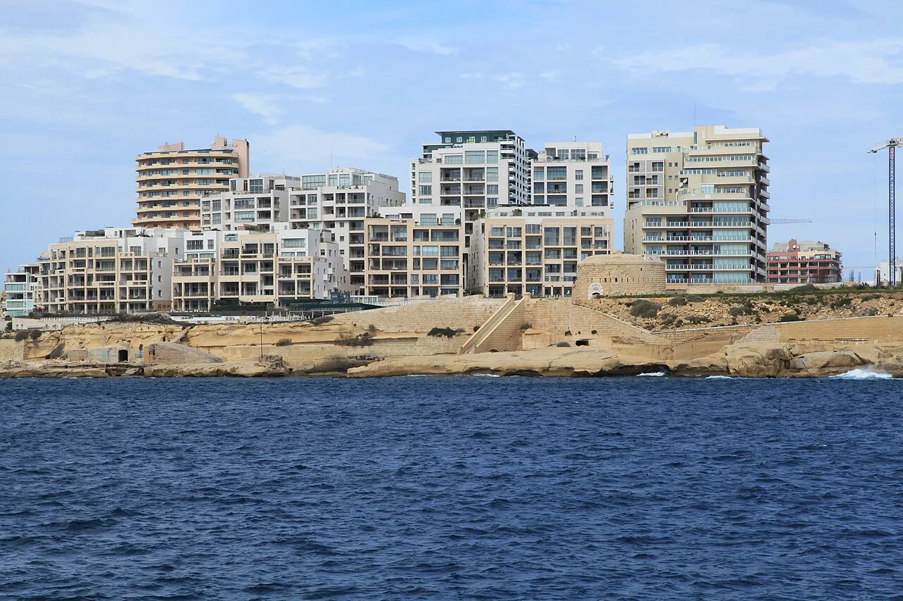

Where it sits on Tigné Point
Fort Tigné occupies the tip of Tigné Point, at the northern end of Sliema where the peninsula looks across Marsamxett Harbour to Valletta and Manoel Island. Map references place it at roughly 35.9066° north, 14.5133° east, on the seaward edge of the point.
The Point shopping centre stands about 270 metres northwest of the fort, and Pjazza Tigné, the square at the heart of the redeveloped point, is about 200 metres west. Garden Battery lies roughly 230 metres northwest. These are short, flat walks on paved ground rather than a hike.
The wider point was redeveloped from 2002, when the old barracks gave way to the shopping centre; restored stretches of the barracks arches still line the square beside the shops.
How to reach Tigné Point
On foot, Tigné Point is the natural end of a walk north along the Sliema seafront from the ferries and the tower. Follow the coastline past Sliema Creek and the promenade, then continue through the point's squares towards the fort at the tip; allow around 20 to 30 minutes from the ferry landing at an easy pace.
By bus, aim for the Sliema and Tigné area rather than a specific stop, since routes and stop names change. Malta Public Transport publishes the current network and journey planner, which is the reliable way to confirm which service serves the point on the day you travel.
By car, the point is signed from the Sliema seafront and The Point shopping centre is the obvious base if you are driving. Traffic on the Sliema approach roads is heaviest in the late afternoon.
Access: plan around the walls
Access to Fort Tigné itself is restricted and requires permission, so do not build a day around walking inside the fort.
The fort's public status has been contested: in December 2025 Momentum called on the government to buy back the fort's emphyteusis, and in January 2026 the Nationalist Party insisted the fort should remain accessible to the public.
Those statements show that public access is a live question rather than a settled arrangement. Check the current position with the fort's operator, or ask at The Point's information desk, before you set out if entering the fort matters to your trip.
What you can see from outside
From the public ground around the point you can read the fort's low profile, its ditch and the way it turns its face towards the harbour mouth. The fort was restored and integrated into the shopping centre development, so the structure sits within a modern setting rather than an isolated field.
Two viewpoints are mapped close to the fort: a panoramic viewpoint over Valletta about 110 metres south, and Tigné Point Beach viewpoint about 120 metres southeast. Both are open ground and make the obvious places to stop for photographs of the harbour and the Valletta skyline.
Garden Battery, an artillery battery in Sliema about 230 metres northwest, is the other piece of harbour defence within a couple of minutes' walk of the fort. An earlier battery on this ground, the 1757 Lembi Battery, was built to stop an attacking force from bombarding the north flank of Fort Manoel across the water.
Nearby sights on the same visit
The Point shopping centre is the practical anchor for a Tigné Point visit, with shops and toilets under one roof. The restored barracks arches along Pjazza Tigné are worth a look on the way through to the fort.
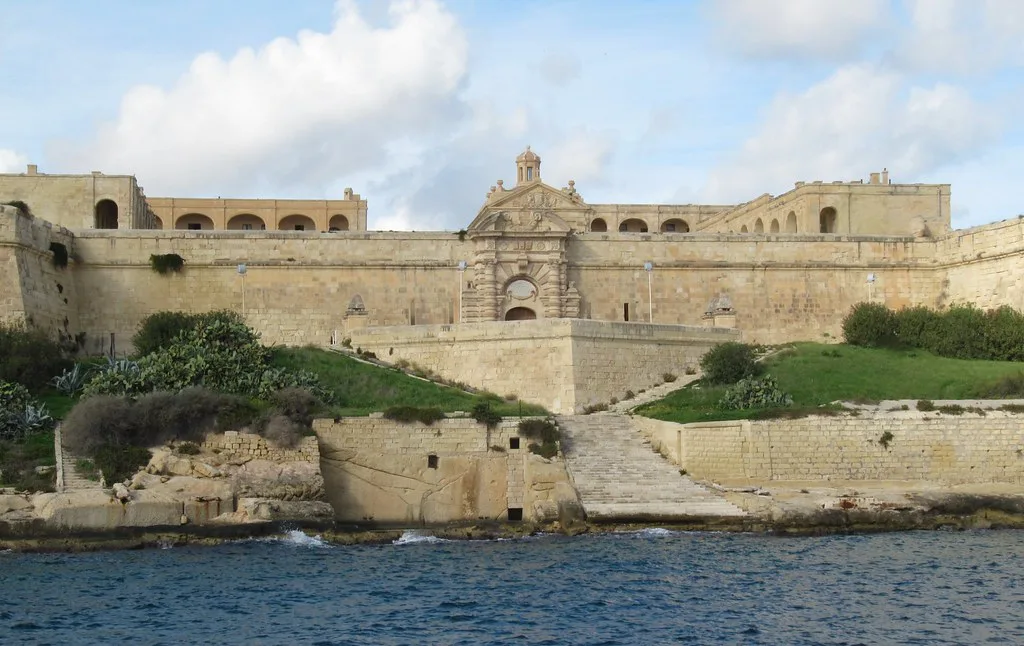
Across Marsamxett Harbour, Fort Manoel on Manoel Island was the position the Lembi Battery was built to protect from bombardment. The two forts together explain how the harbour entrance was covered from both sides.
If you are working through Sliema's fortifications, Sliema Point Battery (Fort Sliema) is the third piece of the picture.
Fort Tigné in the harbour defences
Fort Tigné replaced an earlier defence on the same ground. Lembi Battery was built in 1757 to stop an enemy bombarding Fort Manoel's north flank, and once the fort was in place the battery became superfluous and was converted into a home.
The fort's first test came in June 1798, during the French invasion. Under the Bavarian Knight Joseph Maria von Rechberg it was one of the few positions to resist strongly, holding out for several days before running out of ammunition and being taken.
The British took over in September 1800 and repaired the damage, stationing a garrison from 1805. By 1815 the fort was armed with 30 guns and the site had been extended with a barracks, and after the British departure in 1979 it fell into disrepair until the redevelopment of the point.
How long to allow and when to go
Allow about an hour for the Tigné Point circuit: the walk out from the Sliema seafront, a slow look at the fort's exterior, Garden Battery and the two viewpoints, then the shops or a coffee on the way back. If you are only passing through, 30 minutes covers the fort walls and the harbour view.
Midday heat on the exposed point is the main discomfort, since there is little shade along the fort's seaward side. Early morning or late afternoon is easier walking, and the light on Valletta across the water is better for photographs at those hours.
Cruise days bring crowds to the Sliema–Valletta waterline and the ferries, so the point feels busier when a ship is in. Confirm whether interior access is being offered on your dates before you set out.
Is Fort Tigné worth the walk to the point?
Yes, as part of a Tigné Point circuit rather than as a standalone attraction. The fort's exterior, Garden Battery and the Valletta viewpoints together make a satisfying hour on foot, with The Point for shelter, and the walk itself is the reward when the interior is closed to visitors.
Explore more Sliema guides
Frequently Asked Questions
Can you go inside Fort Tigné?
Access to the fort is restricted and requires permission, so it is not a walk-in attraction. Its public status has been debated in Maltese politics, so confirm the current position with the fort's operator before travelling if entering matters to you.
How do you get to Fort Tigné from Sliema ferries?
Walk north along the Sliema seafront and through the Tigné Point squares to the tip of the peninsula, which takes roughly 20 to 30 minutes at an easy pace. Buses serve the Sliema and Tigné area; check Malta Public Transport's journey planner for the current routes.
What else is near Fort Tigné?
Garden Battery is about 230 metres northwest, The Point shopping centre about 270 metres northwest, and Pjazza Tigné about 200 metres west. Two mapped viewpoints over Valletta and the harbour lie within about 120 metres of the fort.