
Sliema Creek: What to See and How to Reach It

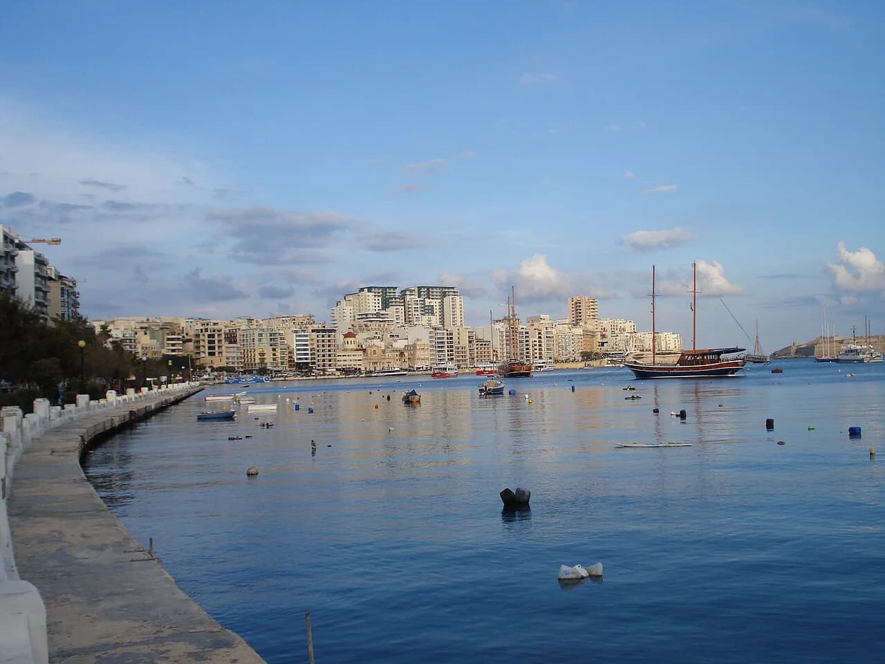
Sliema Creek is the inlet on Sliema's waterfront, best known to visitors through the Sliema–Valletta ferry, which crosses Marsamxett Harbour with views of Manoel Island and the Valletta bastions. This guide covers how to approach the creek on foot and by ferry, what the waterfront walk offers, and how long to allow.
The creek rewards a simple plan: arrive on the Sliema side, walk the promenade, then decide whether to ride the ferry as transport or as a short harbour crossing. For the wider set of things to do in Sliema, see the Sliema Attractions: 12 Visitor Guides.
Where Sliema Creek is
The creek sits on Sliema's harbour side, reached from the town's streets and waterfront. The ferry landing on the Sliema side is the natural reference point. Use a map to fix the relationship between the creek, the promenade and the ferry before you set out.
The creek is not a single sight with a gate and a ticket desk. It is a piece of harbour geography you experience from the shore, from the ferry, or from the waterfront. That makes it easy to combine with the town's streets and the promenade rather than treating it as a separate excursion.

How to get there
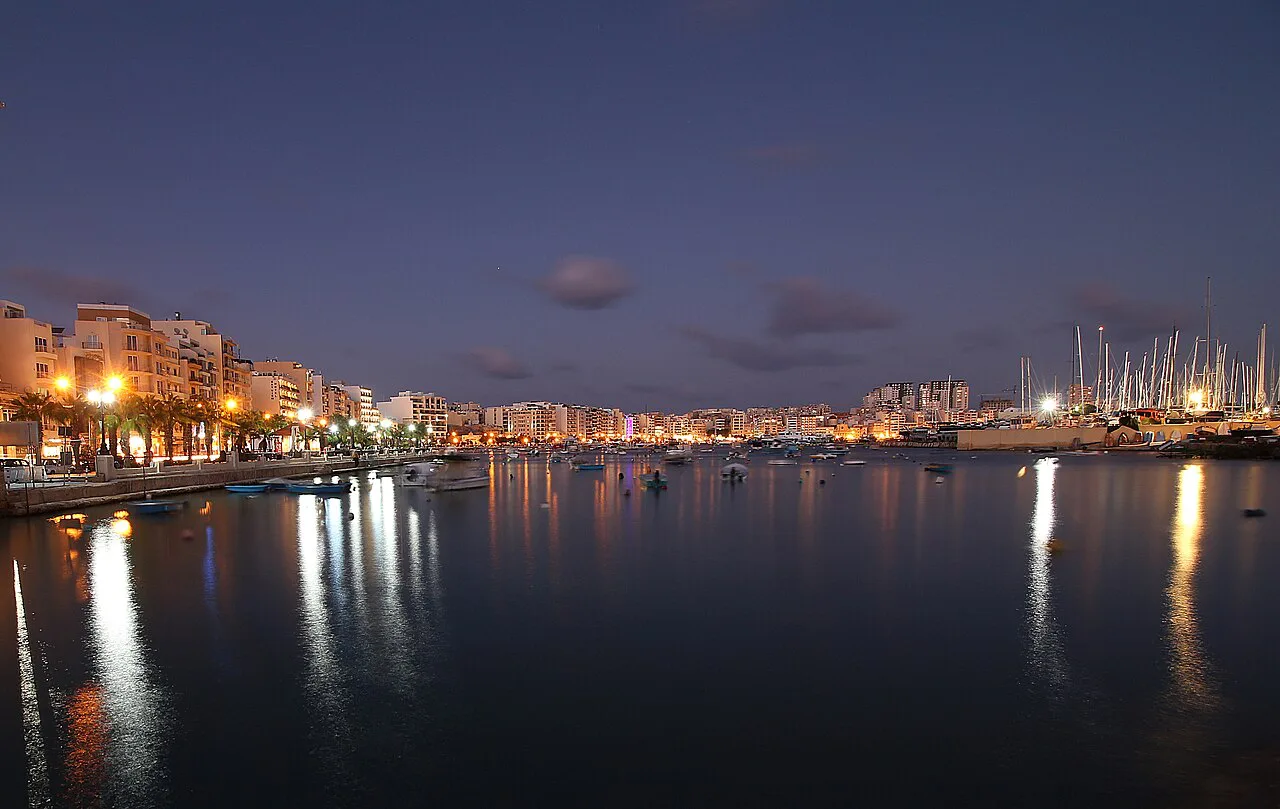
On foot, the simplest approach is to walk the Sliema promenade. The promenade is a 2 km seaside walk that starts at the tip of Qui-Si-Sana and ends in the nearby town of St Julian's. Kiosks and cafés line the route, so you can break the walk for a coffee or a freshly pressed juice before or after the ferry.
By bus, aim for central Sliema and walk down to the waterfront. Roads into Sliema can become busy during rush hour, which is one reason the ferry is worth considering for the crossing to Valletta. For the full spread of local sights, the Sliema Attractions page is the place to start.

The Sliema–Valletta ferry
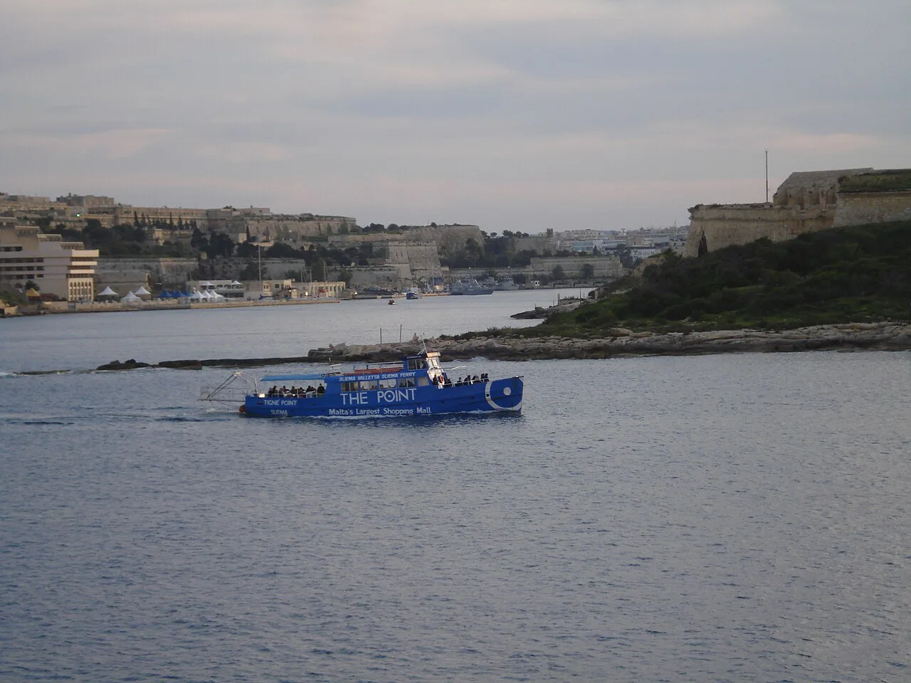
The ferry between Sliema and Valletta is both a practical crossing and a short sightseeing trip. It lets you beat the traffic on the roads and travel across Marsamxett Harbour with views of Manoel Island and the Valletta bastions. That combination is why the ferry is the reason many visitors find themselves at the creek in the first place.
Fares, crossing times and frequency are not published in the sources used here, so check the operator's current details before you rely on a particular sailing. Treat the crossing as either transport or a harbour view, depending on your day: as transport it saves the road journey, and as a sightseeing hop it gives you the creek and the bastions in one go.
Walking the Sliema side
The Sliema promenade is the main walking route along the waterfront. It runs about 2 km from Qui-Si-Sana to St Julian's, with cafés and kiosks along the way. Allow time to stop rather than treating it as a pure transit route, because the waterfront is where the harbour and the town meet.
Along the walk you pass a British military installation now used as a restaurant called Il-Fortizza, one of Grandmaster De Redin's 17th-century coastal watchtowers, a cluster of Art-Deco terraced townhouses and the neo-gothic Carmelite church in Balluta. These are landmarks on the route rather than separate ticketed sights. The streets of the village core are worth a detour, with many named after British governors or places, including Norfolk Street, Prince of Wales Road, Windsor Terrace, Graham Street, Milner Street and Fort Cambridge.
The Gżira side and Manoel Island
Gżira sits on the opposite shore of the creek. Fort Manoel, Manoel Island is the named fortification to look for on the island, and it gives the ferry crossing its most recognisable landmark.
Keep your attention on the geography: the inlet, the island, and the Valletta bastions beyond. That is the view the ferry crossing opens up, and it is the reason to position yourself on the water rather than only on the shore.
Boats and moorings
The creek is a place to look at and cross rather than a destination for on-water activity, and boat hire and sailing terms are not covered here. For most visitors, the ferry and the waterfront walk are the practical ways to see it.
How long to allow
Give the creek a half-day if you want both the walk and the crossing. The promenade alone is about 2 km, and the ferry adds a harbour passage with views of Manoel Island and the Valletta bastions. If you are short of time, choose one: the ferry as a direct crossing to Valletta, or the promenade as a waterfront walk with cafés and kiosks.
The honest trade-off is between transport and sightseeing. The ferry is quick and practical, but it is also the best value view of the creek and the harbour; the promenade is slower, but it puts you among the town's streets, towers and churches. Doing both in one day works if you start early and keep the walk one-way towards St Julian's.
Nearby in Sliema
The Point at Tigné Point is the town's main shopping and leisure complex, set within the grounds of the former British Military base, Tigne Barracks. The pedestrian bridge leading to it is decorated with love padlocks. Fort Tigné, Sliema is the fortification to look for on this side of town.
The village core rewards a wander, with its British-named streets and waterfront views, and it makes a natural finish to a walk back from the creek. Shops and venues at The Point are best checked on the day for current opening times.
Ferry, promenade or both?
Choose the ferry if you want the crossing to Valletta with the harbour views, and choose the promenade if you want the walk from Qui-Si-Sana towards St Julian's with its kiosks and cafés. Both together make a sensible half-day, with the creek as the hinge between Sliema's streets and the harbour.
Check ferry fares and sailing times with the operator before you travel, since they are not given here. For the rest of the town, the things to do in Sliema guide covers the streets, the waterfront and the sights beyond the creek.
Explore more Sliema guides
Frequently Asked Questions
What does Sliema mean in Maltese?
According to the hotel guide used here, Sliema means peace in Maltese. The name sits oddly with the busy commercial district the town is today.
Is Sliema a good base for visiting Valletta?
Sliema is one of Malta's main commercial districts, with designer shopping, restaurants and cafés, and a waterfront promenade that runs about 2 km from Qui-Si-Sana to St Julian's. The Sliema–Valletta ferry gives a direct crossing across Marsamxett Harbour.