Gozo Map: Where the Main Places Are and How to Reach Them
A Gozo map explained for visitors: where Victoria, the Citadel, Ġgantija, Ta' Pinu and Dwejra sit, and how the ferry and island roads connect them.
On this page
Gozo is a compact island northwest of Malta with Victoria (ir-Rabat) at its centre and the fortified Citadel standing directly above the town, so a single pattern explains most of the map. Read the island this way and every other pin — Ġgantija in Xagħra, Ta' Pinu in open country, Dwejra on the west coast — falls into place around it. This guide covers the island's shape, its main places, the ferry landings and how to move between them, with the trade-offs that matter when you plan a route.
Gozo on the map: size and position
Gozo lies northwest of Malta across the Malta Channel, which separates the two islands by roughly 6.7 km at its narrowest. Comino sits between them, and the archipelago as a whole lies about 81 km south of Sicily.
The island covers about 67 square kilometres and measures roughly 14.5 km by 7.25 km. Treat the figure as approximate rather than survey-precise.
For route planning, that size is the useful fact: nowhere on Gozo is far from anywhere else in straight-line terms. What stretches the journey is the road, which bends around valleys and hills rather than cutting straight across them.
How the island is laid out around Victoria
Ir-Rabat, known in English as Victoria, is both the geographic centre of Gozo and its commercial, social and cultural hub. Its main square is officially Independence Square but everyone calls it It-Tokk.
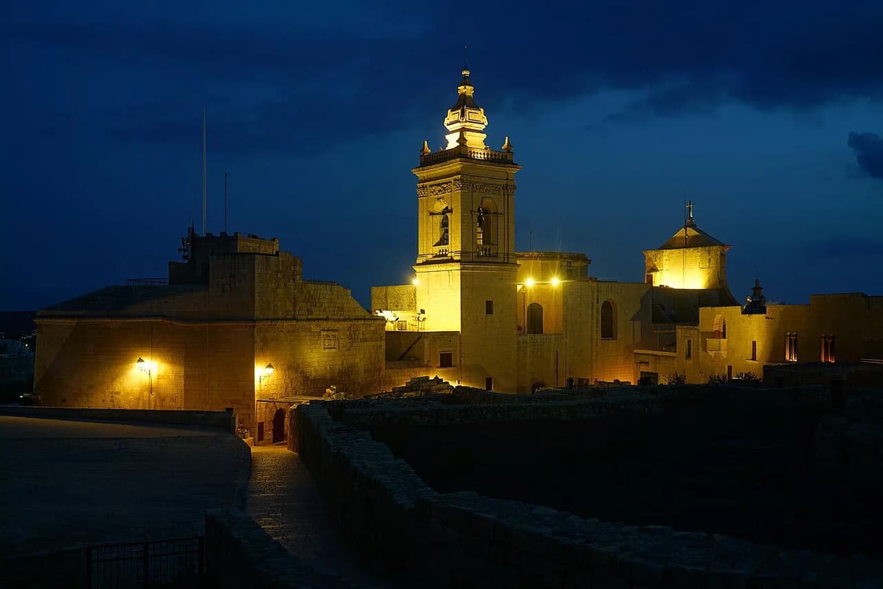
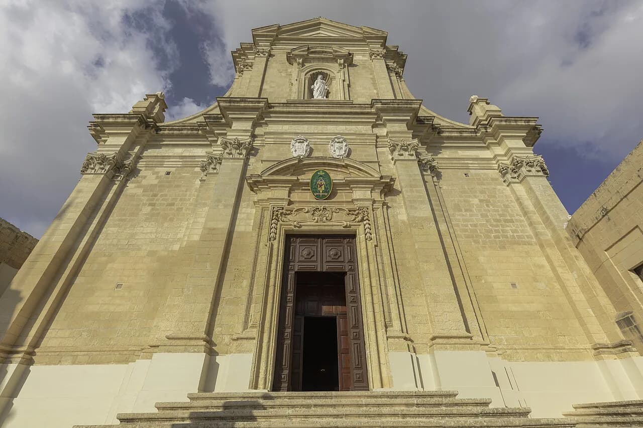
The Citadel (Ċittadella) rises directly above the town, the historic core of the capital. Villages ring the centre, each built around its own church square, and the coast wraps the island with rocky bays, inlets and harbours.
If you learn only one thing before opening a Gozo map, learn this: the roads converge on Victoria. Whether you arrive by bus or car, you will pass through or around the centre to reach the north, west or east coast.
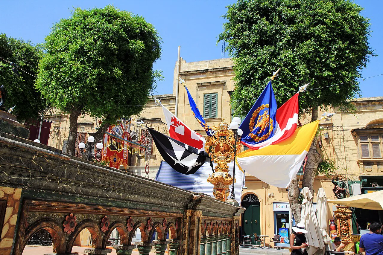
The main places marked on a Gozo map
Ġgantija Temples stand near the village of Xagħra in the east of the island, and the temple complex is dated to around 3,600 BCE. The same source prefers Ħaġar Qim and Mnajdra in southwest Malta for their setting, which is worth weighing if you plan to see both temple groups.
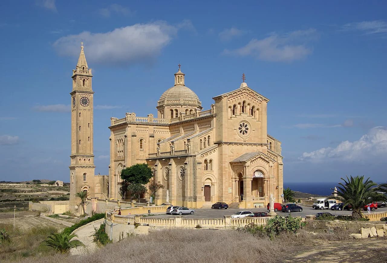
Ta' Pinu Basilica sits in open countryside rather than in a village, which makes it a deliberate stop rather than something you pass on the way to town. Inside, behind the altar, the sacristy holds items left by pilgrims; you may be asked to dress modestly.
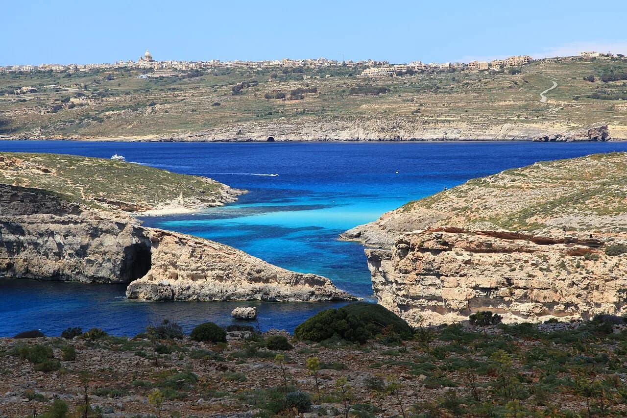
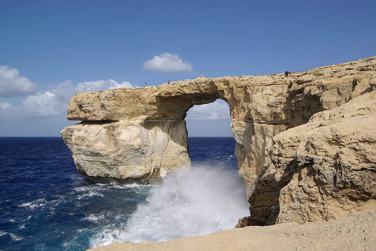
Dwejra Inland Sea lies on the west coast and is one of Gozo's scenic set pieces. The Xwejni Salt Pans, with a small bay nearby, sit along the coast and offer a photogenic stop on a westbound loop.
The tourism board also lists Mġarr ix-Xini and Ramla Bay among its coastal places, and Marsalforn as a town on the north coast. Named sights on its map include the Mixta Cave, Sanap Cliffs and Wied il-Mielaħ, all natural features rather than built attractions.
Mġarr Harbour: where the ferry lands
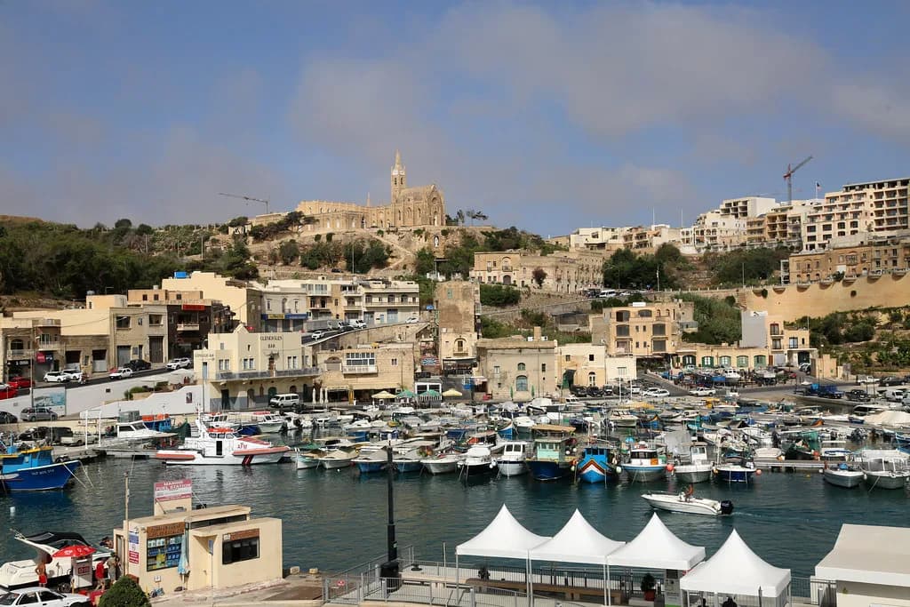
The car ferry from Ċirkewwa in Malta lands at Mġarr Harbour on Gozo's southeast corner, and the crossing takes approximately 25 minutes.
Fast passenger ferries also connect Valletta with Gozo and run almost hourly, giving foot passengers an alternative to the drive to Ċirkewwa at the northern tip of Malta. That choice shapes the rest of your map: arriving at Mġarr puts you close to Victoria, while the Valletta service suits a car-free day.
From the harbour, the road runs inland towards Victoria and the Citadel, so most first routes start with that short leg. Plan the rest of the day from there, whether that means a focused day trip to Gozo or a slower stay.
Getting around without a car
Buses and the ferry network let you cover the island's main places without driving, but the roads funnel into Victoria, so transfers usually route through the centre. Treat the bus as a way of linking clusters rather than hopping between distant pins.
Organised Gozo tours remove the routing problem altogether, which helps if you would rather not work out connections. They also suit travellers who want the ferry and the island's sights handled as one package, and our Things to Do in Gozo guide covers the sights themselves in more detail.
Getting around by car and where to park
By car, accept that a short distance on the map is often a longer drive on the ground, because roads follow the terrain. Allow more time than the scale suggests when heading out to the coast and back through Victoria.
Park in Victoria below the Citadel and walk up: the town sits on a hill, and the climb also puts It-Tokk and the town centre within reach. The Citadel is a popular stop, so build in extra time around parking in high season.
Inside the Citadel, several of the island's museums are clustered together, including the Old Prison, the Cathedral Museum and the Gozo Nature Museum. Checking the current opening times before you set off is sensible.
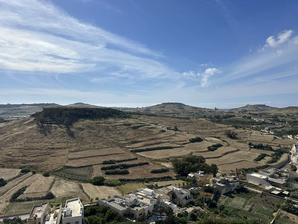
A sample map route: Mġarr, Victoria, Xagħra, Ta' Pinu, Dwejra
Start at Mġarr Harbour and drive inland to Victoria and the Citadel for the morning, while the light is good and the walls still offer shade. From there, head east to Xagħra for Ġgantija Temples.
Continue with Ta' Pinu in the countryside, then swing west to Dwejra Inland Sea and the Xwejni Salt Pans. The order works because it circles the centre rather than criss-crossing it, so you pass through Victoria only once.
For lunch in the Citadel area, Ta' Rikardu serves simple, traditional Maltese food. Plenty of other options sit in Victoria itself, so the map has room to flex around your timing.
Heat and timing: when to be on the Citadel
In the hot summer months, avoid the Citadel between 12:00 and 16:00 because there is very little shade there. That advice governs the whole map: put the sun-exposed stops early or late and save indoor museums, churches and lunch for the middle of the day.
Malta's summers are hot and humid, with temperatures that can reach 36C and nights that stay warm during a heatwave. The same climate pattern applies to Gozo, so carry water and plan a shaded break rather than pushing on through the afternoon.
How much time to give Gozo
The island's compact size means one focused day can cover Victoria, the Citadel, Ġgantija and a coastal stop. Two days let you slow down and add a village or two without turning the map into a checklist.
Gozo is less built-up and less heavily populated than Malta, and much of its appeal lies in wandering the villages and countryside rather than ticking off sights. If that pace appeals, read is Gozo worth visiting for an honest take before you commit the days.
Which Gozo map route fits your day?
If you have one day, run the loop from Mġarr through Victoria and the Citadel to Xagħra for Ġgantija, then Ta' Pinu and Dwejra, and keep the Citadel for the morning. With two days, split the centre from the coast and give the villages the time they deserve.
Either way, decide first whether you are arriving by car ferry at Mġarr or on the fast passenger service from Valletta, because that choice sets your starting pin. Check current ferry times and opening hours before you set out, then let the island's single hub do the rest of the planning.
Explore more Gozo guides
Frequently Asked Questions
Where is Malta located on a map?
Malta lies in the Mediterranean about 81 km south of Sicily and roughly 300 km north of the North African coast. Gozo sits northwest of the main island of Malta, separated by the Malta Channel, with Comino between them.
How long is the ferry crossing from Malta to Gozo?
The car ferry from Ċirkewwa to Mġarr Harbour takes approximately 25 minutes. Fast passenger ferries also link Valletta with Gozo and run almost hourly; check current times before you travel.
Sources
Notes for your Malta trip
Optional updates when we add or correct a Malta or Gozo guide.
You might also like
Continue reading
More guides you'll find useful