Valletta Map: How the City Is Laid Out and What to See on Foot
A practical Valletta map guide: where the City Gate, Triton Fountain, Republic Street and the main sights sit, how long the walk takes and how to arrive.
On this page
You can walk the whole of Valletta on foot, and a good map of the city fits on one page. The capital runs as a compact grid between Marsamxett Harbour and the Grand Harbour, which is why the city rewards walkers rather than drivers. This guide lays the main sights out in walking order, names the streets you use to orientate yourself, gives the route length and what to expect on a Sunday.
Start with the official VisitMalta city-centre map, which you can download before you travel rather than buying a paper one at a stand in town. It is worth loading on your phone at the Triton Fountain, because the streets are short and the signposting is easy to walk past.
What the Valletta map shows at a glance
Picture a walled grid with water on both long sides: Marsamxett Harbour to the west and the Grand Harbour to the east. The whole city is small enough to cross on foot, and most of what a visitor wants sits inside the bastions. The edge of the map is the coastline, so a seaward walk is never far away.
VisitMalta also publishes a Valletta and Floriana map, which is useful if you plan to park outside the walls and walk in. Floriana sits just beyond the City Gate and is the usual answer to the parking problem.
Where the map starts: Triton Fountain, the City Gate and the bridge
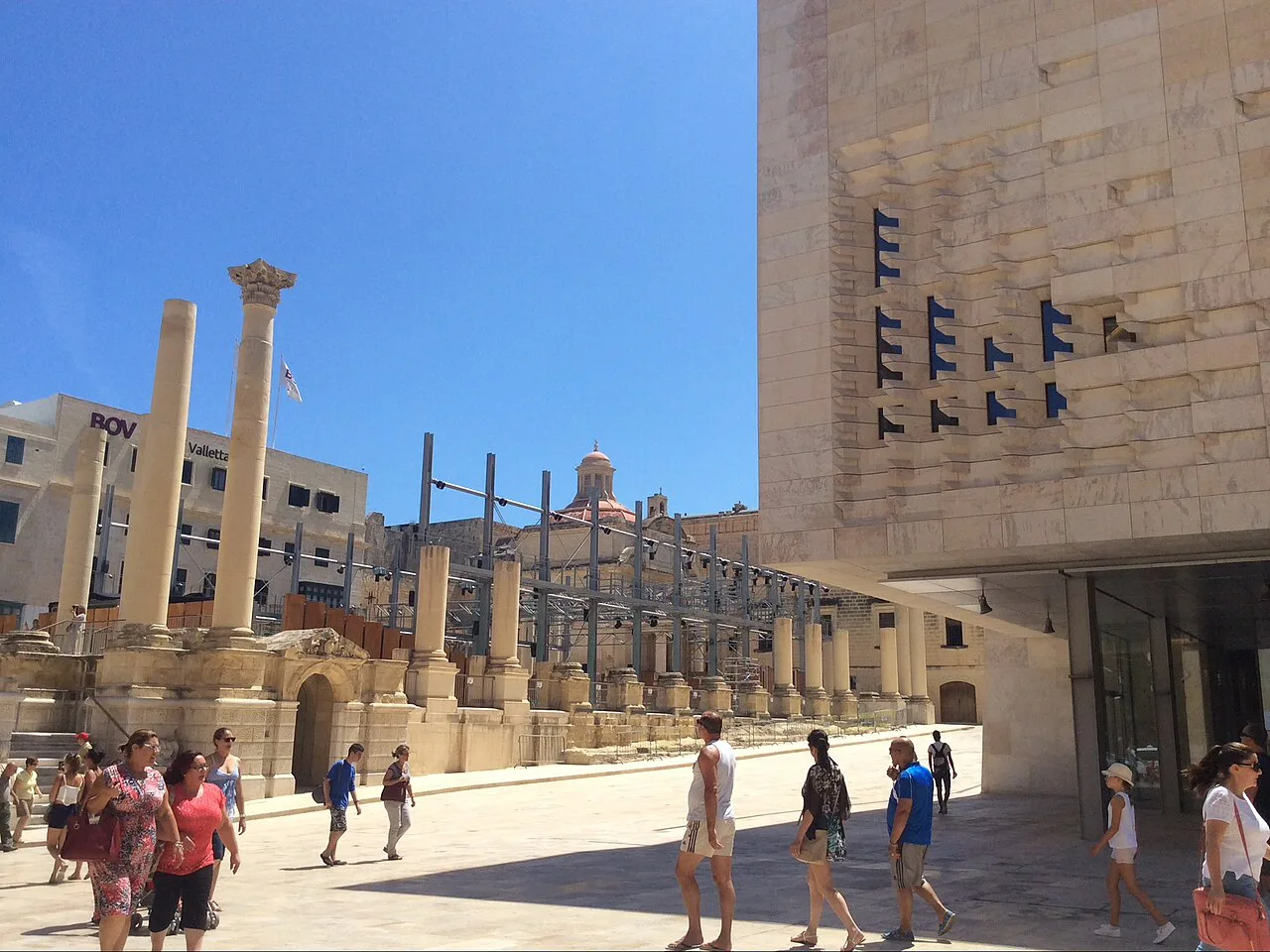
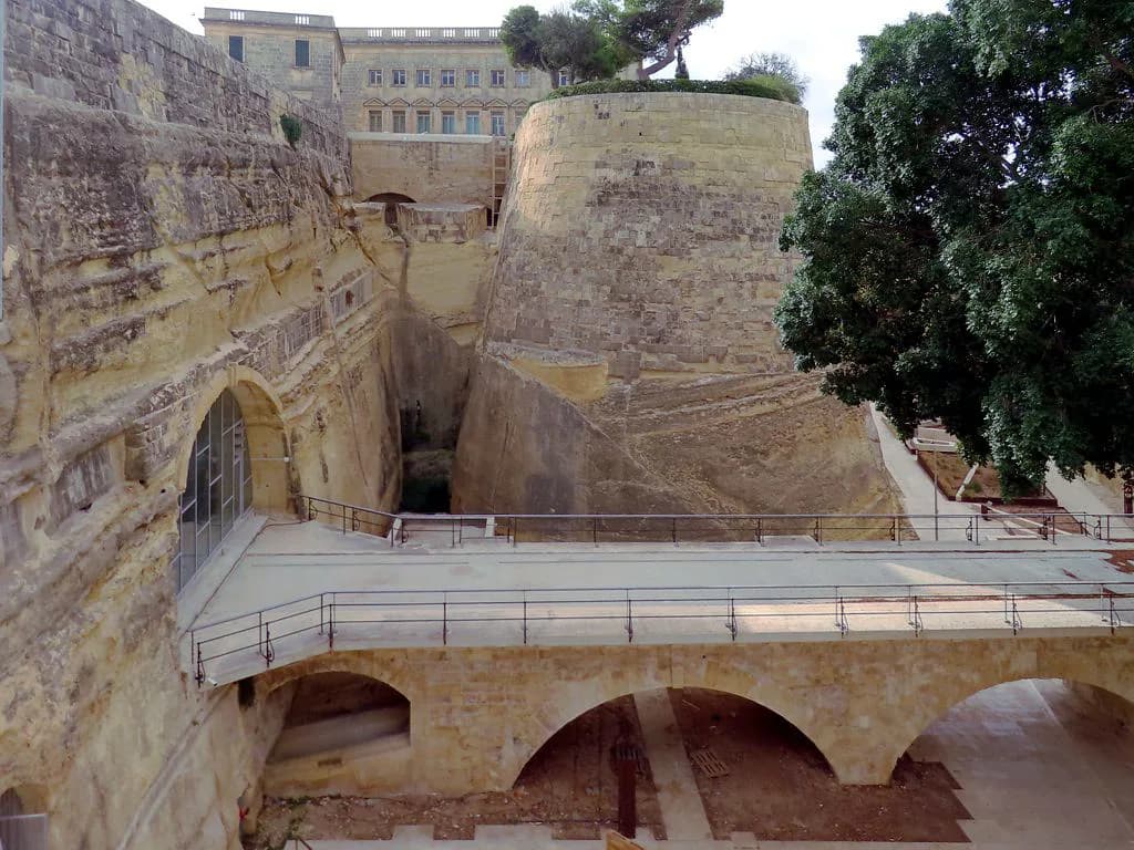
The natural starting point is the Triton Fountain just outside the City Gate, where the walking route begins. Walk through and you cross a bridge over the old ditch, now laid out as Ġnien Laparelli garden below you. Look down before you carry on; the garden is easy to miss from pavement level.
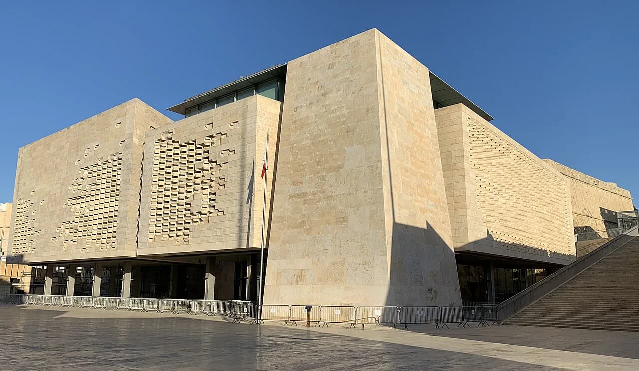
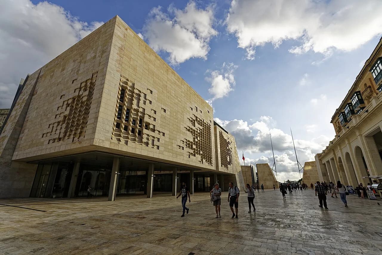
The current gate and bridge were designed by Renzo Piano, the architect behind the Parliament House alongside, and opened in 2015. On either side of the entrance are two tall poles, which represent swords held upright in salute to everyone entering. The detail is easy to walk past, so slow down for it.
The spine of the map: six main streets
Republic Street is the spine visitors use, running the length of the city and carrying the main sights. The other principal streets named on the street map are Merchants Street, Old Bakery Street, South Street, St John Street and Zachery Street. Learn those six and you can place yourself anywhere in the grid without a printed map.
Republic Street is the famous street for most visitors, but the side streets off it hold the quieter city. Merchants Street runs parallel and is a good way to move between sights without the crowds on the main drag.
Upper Barrakka Gardens, the Saluting Battery and Lower Barrakka Gardens
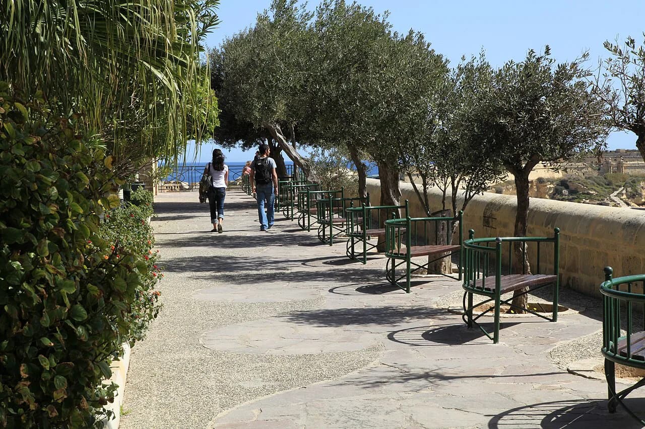
The seaward edge of the map is the string of gardens and batteries above the Grand Harbour. Upper Barrakka Gardens and the Saluting Battery sit close together, with the War HQ Tunnels and Lascaris War Rooms nearby. Carry on south along the bastions and you reach the quieter Lower Barrakka Gardens.
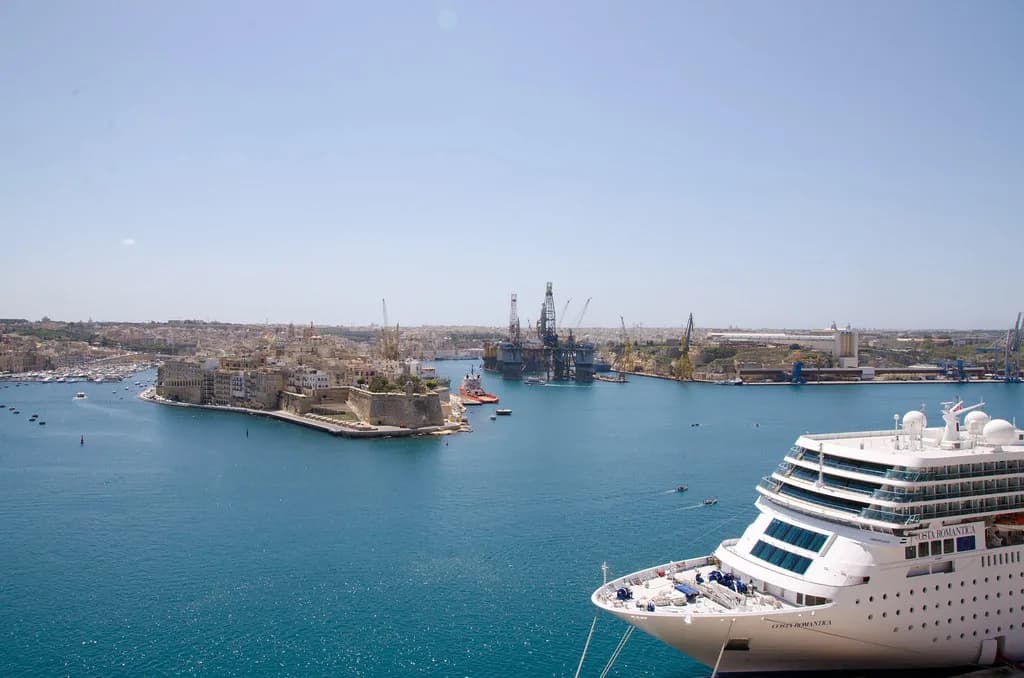
Treat this edge as the place to pause rather than rush. The harbour views from the bastions are the reason many people come back a second time, and a bench here costs nothing.
Fort St Elmo, the National War Museum and the north-east tip
At the north-east tip of the grid sit Fort St Elmo and the National War Museum, a natural turning point on the map. Allow real time here rather than treating it as a pass-by, because the museum sits inside the fort. If you want to choose between Valletta's museums on a short trip, this is one of the bigger ones.
Casa Rocca Piccola, Teatru Manoel and the Grandmaster's Palace
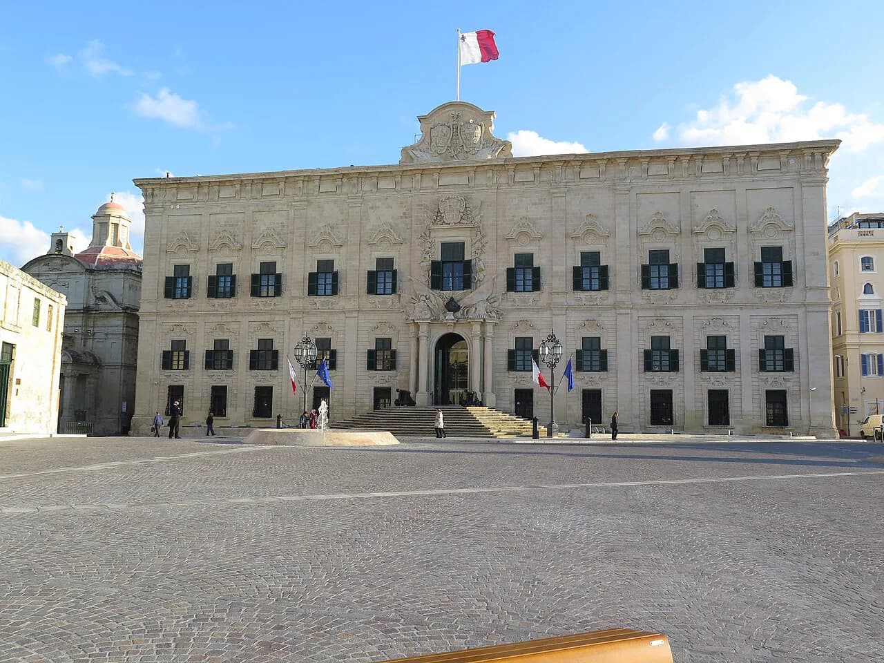
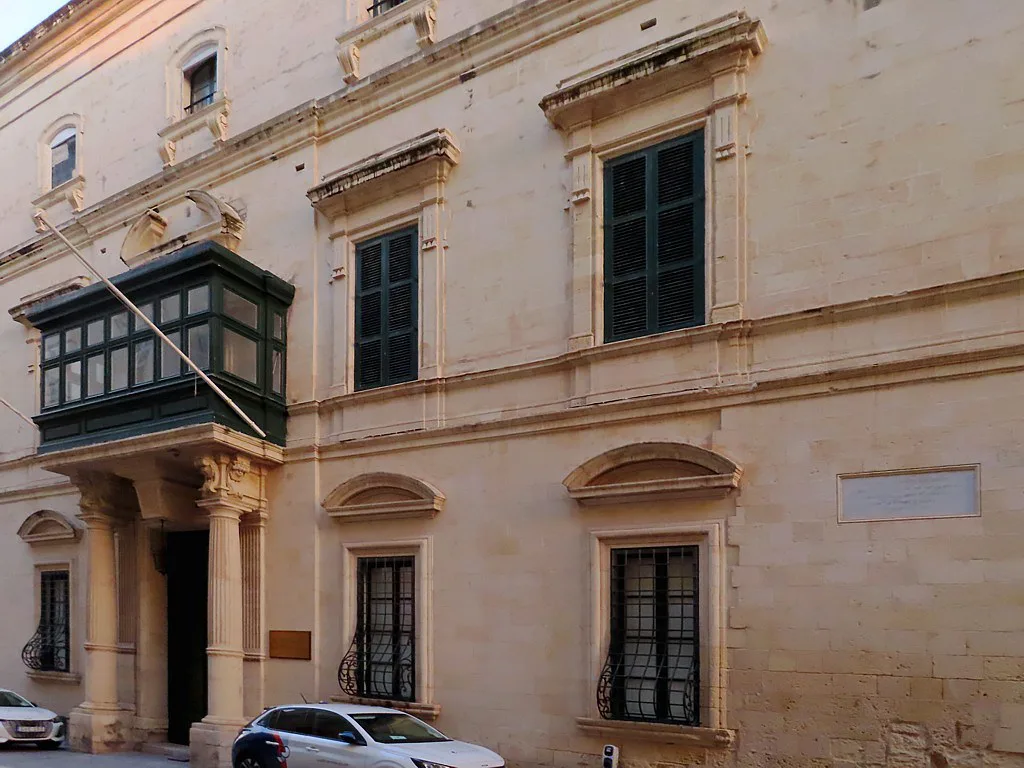
Back towards the centre, Casa Rocca Piccola, Teatru Manoel and the Grandmaster's Palace all sit within a short walk of Republic Street. Teatru Manoel and the palace are the landmarks to plot your position by, and Casa Rocca Piccola gives you a look inside a Valletta house. Group them together rather than zig-zagging across the grid.
The Grandmaster's Palace is one of the five stops worth prioritising if your time is short. It sits close enough to St John's Co-Cathedral that you can do both on the same morning.
St John's Co-Cathedral and the National Museum of Archaeology
St John's Co-Cathedral and the National Museum of Archaeology sit a couple of minutes apart on the same stretch of the map. Both reward a proper stop, and the cathedral asks for modest dress, so keep shoulders and knees covered if you plan to go in. The archaeology collection is the better choice if you want context before visiting Malta's temple sites.
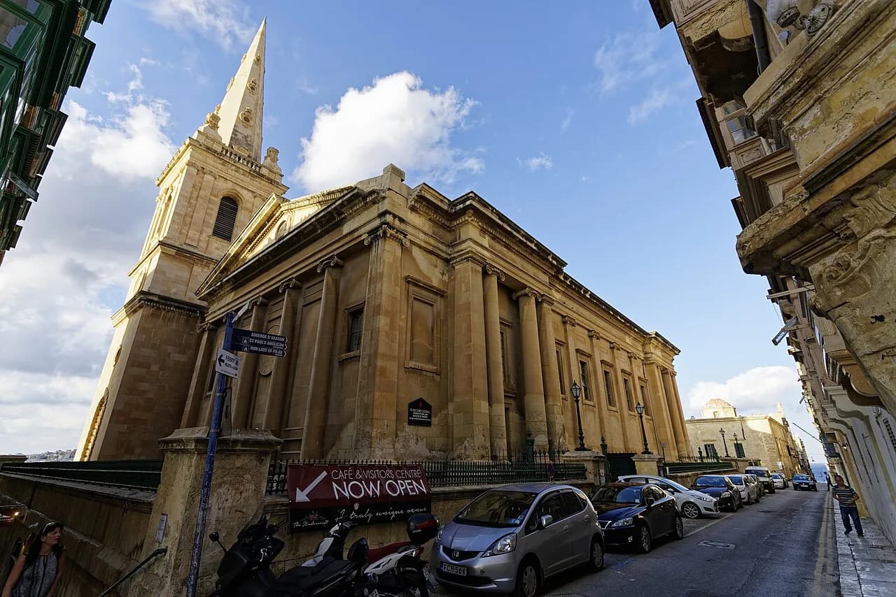
If you want to see several churches in one day, plan the walk so the cathedral is not your first stop. Valletta churches are close together and a short loop covers the main ones without much extra distance.
Strait Street and the side streets off Republic Street
Strait Street runs off the main drag and is the easiest place to feel the city away from the crowds. The side streets off Republic Street are where the walking route earns its keep: shorter blocks, fewer people and better chances of finding a café with a free table.
Shopping is concentrated on the main streets rather than the side lanes, so if you want the Valletta market and the shops, stay on Republic Street and Merchants Street. Do the side streets on the way back rather than as a detour.
The coastal walk along the bastions
The walk along the bastions is the best thing you can do in Valletta if you have a spare hour. It follows the seaward edge and links the gardens and forts without repeating any of the inland route. Do it in the late afternoon when the light softens and the harbour is at its clearest.
You can also see the same walls from the water on a Valletta boat trip across the harbours, which gives a sense of the scale that walking inside the grid cannot.
How long the mapped route takes
The self-guided route covers about 4 kilometres, and the walking time alone is just over an hour. Most people spend a full day once they factor in the stops, so treat the hour as travel time rather than visit time. Split it over two days if you would rather not rush.
Those figures apply to the described route, not to the whole city. Valletta is small, but the stops are dense, and an afternoon that looks generous on the map usually fills up.
Opening hours and starting time
Most attractions close around 5pm, so start in the morning if you want to cover the main sights. Leaving the big interiors until mid-afternoon is the usual mistake. Check each site's own published hours before you set out, particularly for the fort and the war rooms.
Build the day around two or three interiors rather than trying to see everything. That leaves room for the gardens and the bastion walk, which do not close.
Arriving at the map's edge: ferry, bus and car
The best arrival is the ferry from Sliema, which crosses the harbour in about fifteen minutes and brings the skyline towards you the whole way. It leaves from the Ferries waterfront in Sliema, and the crossing is a far better introduction than sitting in traffic.
Buses from across Malta terminate outside the City Gate, which puts you at the start of the route with no walk to spare. Driving into Valletta is not recommended, because traffic and parking are both difficult; park in Floriana and walk in instead.
If you arrive by boat or bus, the City Gate is the landmark to find. From there everything on the map is within walking distance, and you will not need transport again until you leave.
Sunday on the map
On a Sunday, shops are largely closed, but cafés and the main sites stay open. Plan a Sunday around interiors and the bastion walk rather than retail, and expect a quieter Republic Street.
That makes Sunday a good day for the cathedral and the museums, and a poor one for browsing the shops. If shopping matters to your trip, put it on another day.
Choosing where to start if you have one afternoon
With a single afternoon, prioritise five places: Triton Fountain, Upper Barrakka Gardens, Republic Street, the Grandmaster's Palace and St John's Co-Cathedral. That shortlist covers the arrival, the harbour view, the spine of the grid and the two interiors most visitors come for.
Start at the fountain, walk up to the gardens, then come back along Republic Street and finish at the cathedral. It is a short route with no backtracking, and it leaves you near the bus terminus for the return.
Which Valletta route suits your day
Choose the full 4-kilometre route if you have a whole day and want the forts, the gardens and the side streets. Take the five-stop shortlist if you have one afternoon, and start in the morning so the interiors are still open.
Arrive by ferry from Sliema if you want the skyline approach, and by bus if you want to step off at the City Gate. Either way, load the city-centre map before you go and keep your afternoon free of any plan that depends on shops being open on a Sunday.
Frequently Asked Questions
Where is Malta on the world map?
Malta sits in the Mediterranean and is a member state of the European Union. Valletta is the capital, on the northern coastline of the main island, with Marsamxett Harbour on one side and the Grand Harbour on the other.
Is Valletta a beautiful city?
The city earns its reputation from the water: limestone fortifications, church domes and walls rising straight from the harbours. The grid inside is small and walkable, and the bastion edge gives the best views.
Sources
Notes for your Malta trip
Optional updates when we add or correct a Malta or Gozo guide.
You might also like
Continue reading
More guides you'll find useful