Valletta Streets: Republic Street, Merchants Street and the Grid
Valletta's streets form a grid you can walk in an afternoon. Here is what Republic Street, Merchants Street, Strait Street and the stepped lanes are known for.
On this page
Walk Valletta by its grid and you can cross the whole centre in an afternoon: the main streets run straight and level, while the narrow side lanes drop away in steps towards the fortifications. The city centre streets are laid out in a grid, which makes it easy to move from one landmark to the next, and the Valletta Commonwealth Walkway marks out 20 points of interest along the way. This guide covers what each named street is known for, how the squares fit in, and a route that joins them without wearing you out.
What the street layout of Valletta looks like
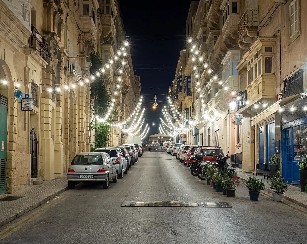
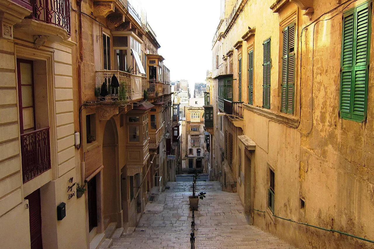
Valletta's streets are all straight, some short and narrow, others wide and long enough to span the capital. The central streets where the landmarks cluster form a grid, while the residential side roads stay small and narrow, so you always know whether you are on a through route or a lane. That contrast is the single most useful thing to grasp before you set off: wide streets for navigation, narrow ones for shortcuts and balconies.
The grid produces open spaces where streets meet or widen, and these piazzas are where much of the city's activity happens, from street theatre to outdoor tables. Treat them as your checkpoints: if you can name the square you are standing in, you can place yourself on the map without looking at your phone.
Why the grid and the steep stepped streets exist
One explanation offered for the grid is that it let the sea breeze pass through the streets and keep citizens cooler in Malta's hot summers, and the same layout is thought to have helped bring in water and sanitation. It is reported as a belief rather than a settled fact, but the practical effect is what matters to a walker: straight lines and cross-streets that are easy to hold in your head.
The steep streets with deep steps are a different piece of design. The military engineer Francesco Laparelli was brought in to plan new defences for the city, and part of that system was to make the approaches hard to climb in heavy armour. Those gradients survive, so a lane that looks like a short cut on the map can mean a flight of steps in the heat.
Republic Street: the spine of the city
Republic Street is the main axis to learn first, appearing at the head of the list of the city's principal streets. It runs through the centre where the landmarks and visitor attractions are found, so most first walks naturally follow it and turn off when something catches the eye. If you only memorise one line on the map, make it this one.
Use it as a spine rather than a single sight: the value is in what sits off it, including the cathedral and the palace complex a short way from the line of the street. Pair it with the city's wider sight list so you know which turns are worth taking.
Merchants Street and the other main streets
Merchants Street is the second name to fix in your head, listed alongside Republic Street among the main streets. The same list gives Old Bakery Street, South Street, St John Street, Zachery Street and Old Theatre Street, which together cover a large part of the centre you will actually walk.
St John Street takes its name into the heart of the religious core, where the cathedral of the same name stands. Allow time to go inside rather than photographing the facade and moving on, and check the dress requirements before you queue.
Strait Street, or Triq id-Dejqa
Strait Street, known in Maltese as Triq id-Dejqa and historically as Strada Stretta, is a narrow street in central Valletta with a long association with sailors and military custom. One city blog calls it Valletta's most famous street, and it is short enough to walk in a few minutes as part of a loop rather than a destination in itself.
The street's character today comes from its revived frontages and live music, which makes it busier later in the day than at midday. Walk it in the morning if you want the lane itself without the crowds, and treat it as a piece of the street pattern rather than a stop you need to plan around.
The piazzas: Republic Square, St John's Square and St George's Square
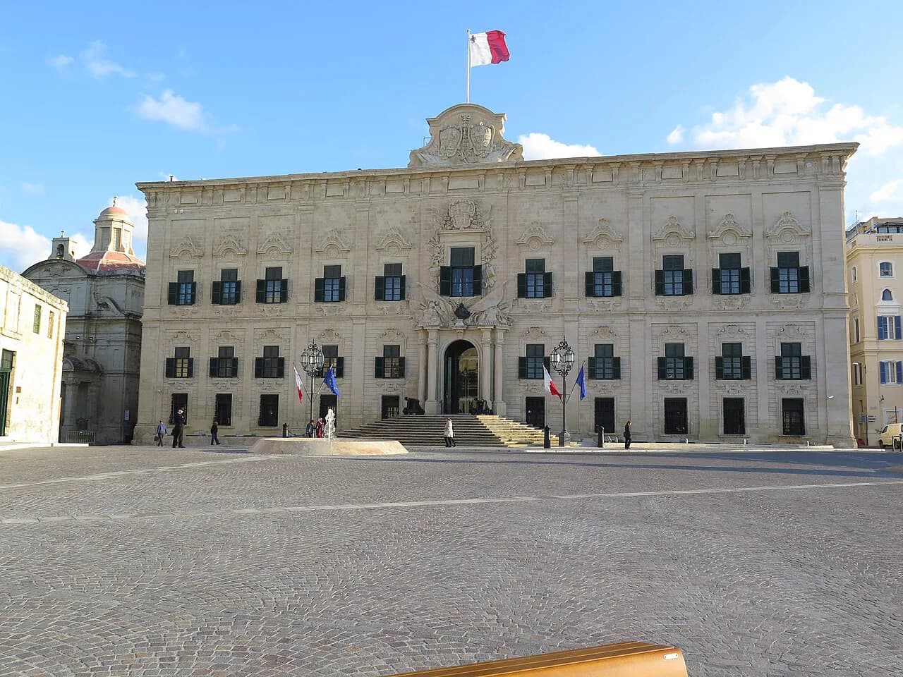
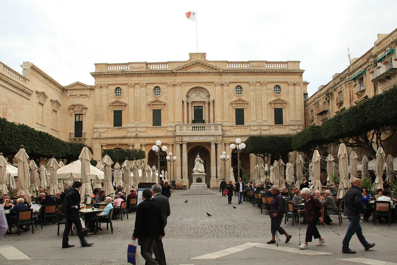
Republic Square is one of the most photographed squares in the city, home to the National Library of Malta and part of the Grandmaster's Palace, with open-air cafés and shops around it. The statue of Queen Victoria outside the library gave it the name Piazza Regina, which you will still see used. It is the natural pause between Republic Street and the palace end of the centre.
St John's Square sits in front of St John's Co-Cathedral and is described as one of the greener spaces among the sandstone buildings. St George's Square is, according to a 2018 city blog, where the Changing of the Guards military display takes place each month rather than daily, so plan around it only once you have confirmed the current arrangement.
A walking route connecting the streets and squares
Start at the city gate end, follow Republic Street through the centre, turn off for Republic Square and the National Library, then continue to St John's Square and its cathedral. Return along Merchants Street, which runs parallel, and finish with Strait Street and the lanes towards the fortifications. That sequence keeps the level streets for the middle of the walk and saves the steps for when you are warmed up.
Half a day covers the spine comfortably with one or two interior visits; a full day lets you add a museum and a slow lunch in one of the squares. If you would rather not plan the turns yourself, a guided walk covers the same ground with the layout explained as you go.
Where the fortifications and Fort Saint Elmo sit
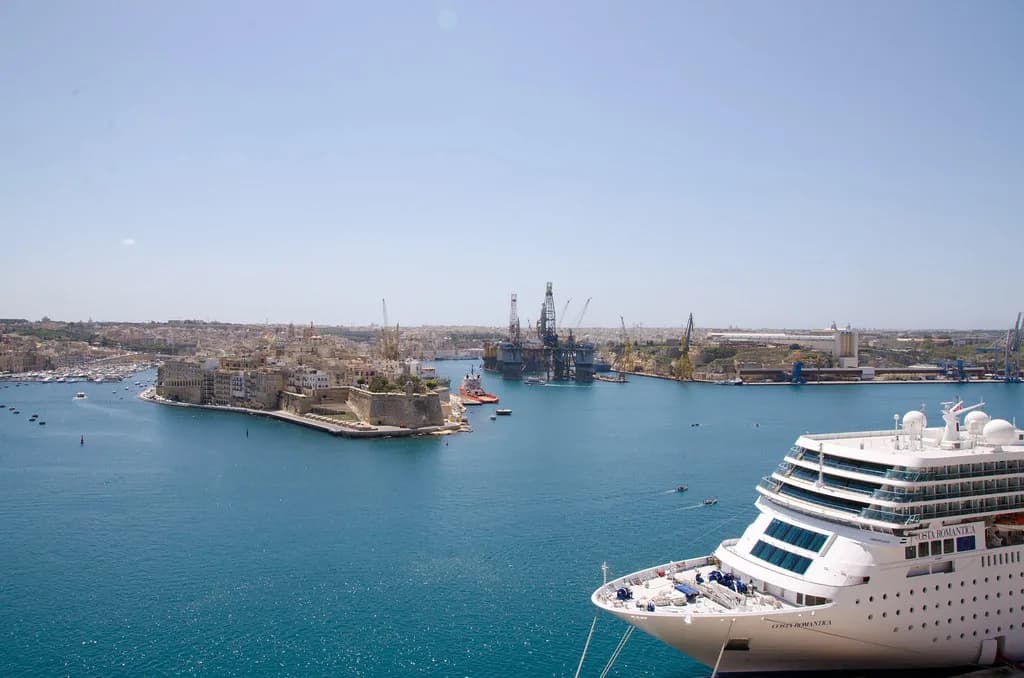
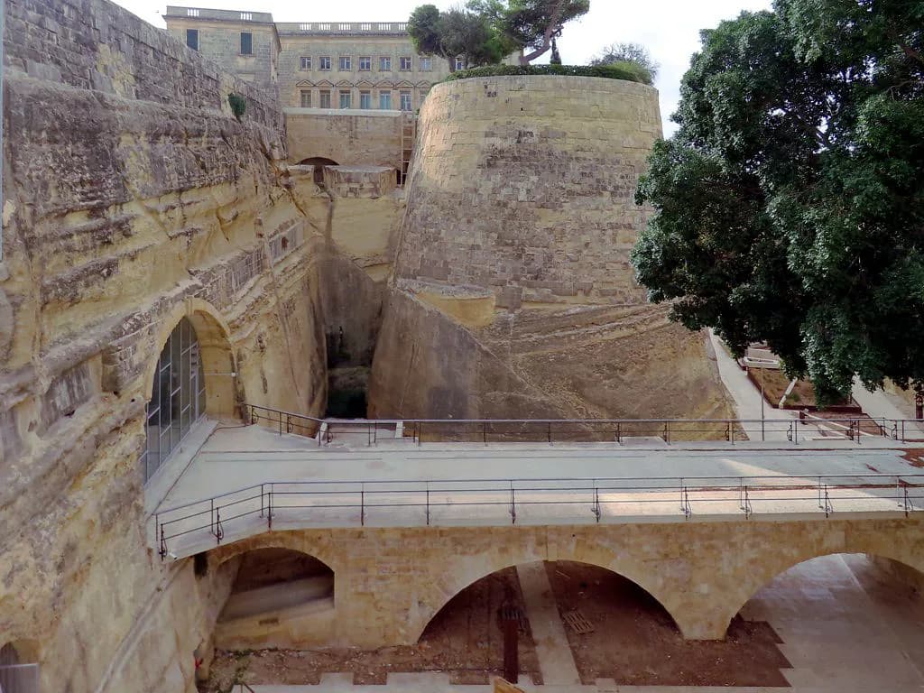
The city's fortifications date from the sixteenth century and wrap the grid at its edges, with a series of defensive walls and forts still visible today. Fort Saint Elmo is the best known of them; the source does not describe its present access or opening arrangements, so check before you walk out. The stepped streets are part of that defensive scheme, so expect the gradients to appear as you approach the walls.
Fort Saint Elmo is a useful marker for the whole set of sights at the fortification end of the city, and the stepped lanes leading towards the walls are part of the same defensive design.
Practical points: heat, steps and getting around
The centre is pedestrian-friendly and made for walking, with little vehicle access, which also means no easy lift between levels. In summer, do the wide central streets in the morning and keep the stepped lanes for the cooler edges of the day; the same flight of steps is a different proposition at two in the afternoon.
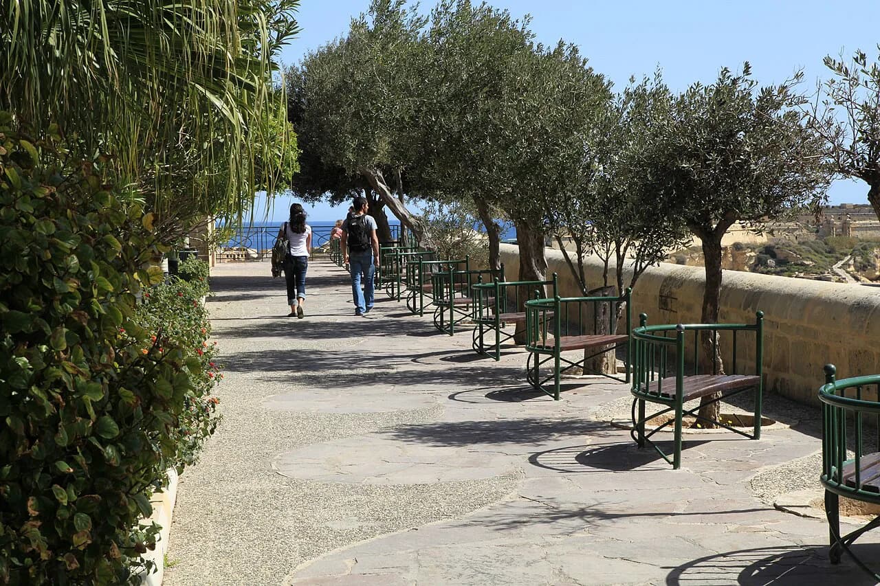
Wear shoes that cope with cobbles and steps, carry water, and build in a square to sit down in rather than pushing straight through. If you want to break the walk with an indoor stop, the city's museums give you shade and a reason to slow down.
Which Valletta street should you walk first?
Walk Republic Street first, then return along Merchants Street, and use the squares as your pauses. Add Strait Street and the stepped lanes towards Fort Saint Elmo once you have your bearings, keeping the gradients for the cooler part of the day.
That route covers the grid, the main piazzas and the fortification edge in half a day without any backtracking you will regret. Check current opening arrangements for the cathedral and fort before you set out, since those are the two stops most likely to shape your timing.
Explore more Valletta guides
Frequently Asked Questions
What is the famous street in Valletta?
Strait Street, also called Triq id-Dejqa and historically Strada Stretta, is the one most often singled out. It is a narrow central street with a long association with sailors and military custom, and it now has revived frontages and live music along its short length.
Which streets should I walk in Valletta?
Start with Republic Street and Merchants Street, the two parallel main streets that carry most of the landmarks, then add St John Street for the cathedral and Strait Street for the lane itself. Keep the stepped side streets towards the fortifications for the cooler part of the day.
How long does it take to walk the centre of Valletta?
Half a day covers the main grid, the piazzas and one or two interior visits at an easy pace. Allow a full day if you want to add a museum, a proper lunch in one of the squares and the walk towards the fortifications.
Sources
Notes for your Malta trip
Optional updates when we add or correct a Malta or Gozo guide.
You might also like
Continue reading
More guides you'll find useful