Malta Map: Where the Islands, Towns and Ferries Sit
A Malta map explained for visitors: where Malta, Gozo and Comino sit, which towns anchor each region, and the ferry ports that link the islands together.
On this page
Malta is the southernmost country in the European Union, sitting 80 km south of Sicily and 280 km north of Libya at roughly 35.9°N, 14.5°E. The archipelago covers 316 km² across three inhabited islands, which is why almost everything on a map of Malta fits inside a short drive. This guide shows how the islands, towns and ferry ports sit in relation to one another, and which combinations work in a day.
Where Malta sits in the Mediterranean
On a map of Europe, Malta appears as a small group below Italy's boot, closer to North Africa than to Rome. Its position between the western and eastern Mediterranean explains why it became a crossroads, and it is the anchor for every route you will plan on the islands themselves.
The archipelago's three main islands descend in size: Malta, Gozo and Comino, with Comino and a scattering of islets uninhabited. Malta itself lies south-east of the smaller islands of Gozo and Comino, so a northbound journey on the map means heading towards Gozo.
The three inhabited islands on the map
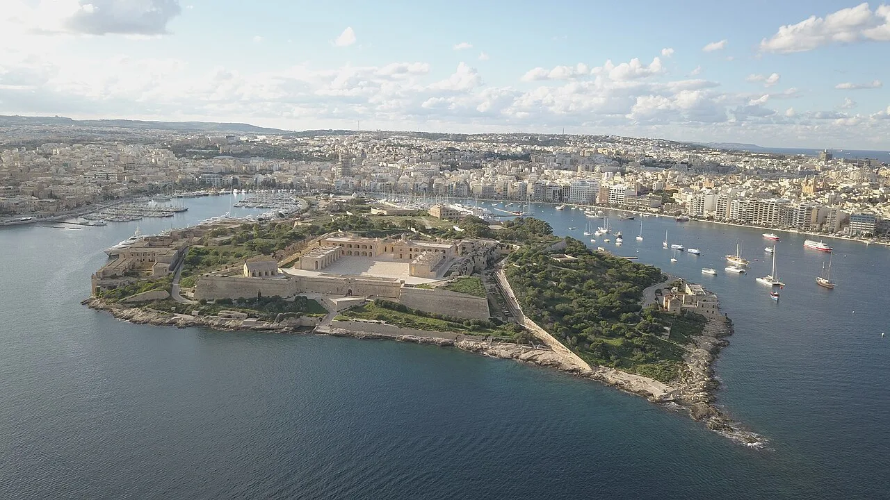
Malta, the main island, covers 246 km² and holds Valletta, the airport and the bulk of visitor accommodation. Gozo covers 67 km² and sits to the north-west, while Comino covers 3.5 km² between the two and has no resident population.
The whole chain from southern Malta to northern Gozo spans roughly 45 km, so no single crossing takes long. Treat the islands as one compact map rather than three separate destinations.
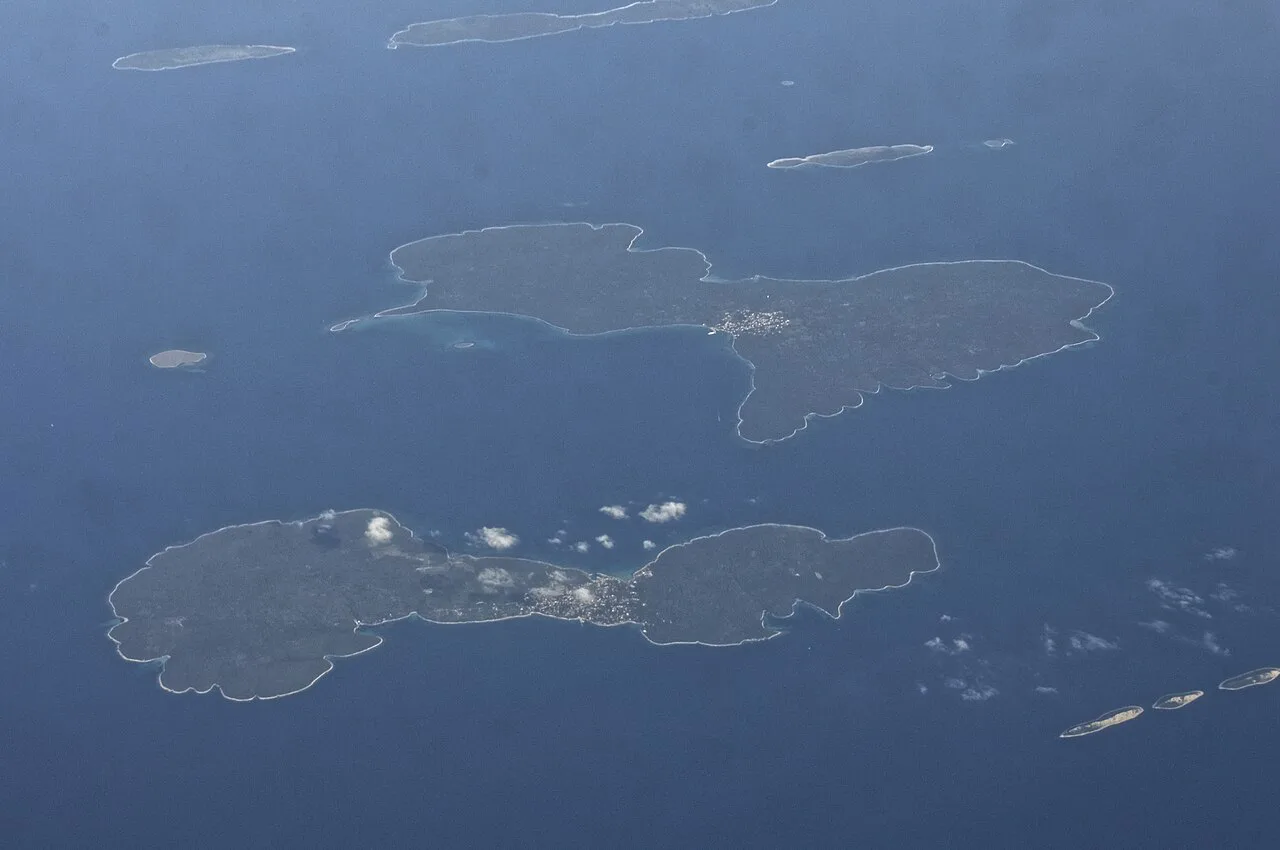
Malta and Gozo: the island pair on the map
Malta and Gozo sit in a north–south line with short sea channels between them. Gozo is roughly 14 km long, with Victoria at its centre and Mġarr harbour on its southern shore, which is where the ferry from Malta lands.
The crossing runs from Ċirkewwa at Malta's northern tip to Mġarr and takes about 25 minutes. Because the port sits at the far north of the main island, allow real time to reach Ċirkewwa before you think about the crossing itself.
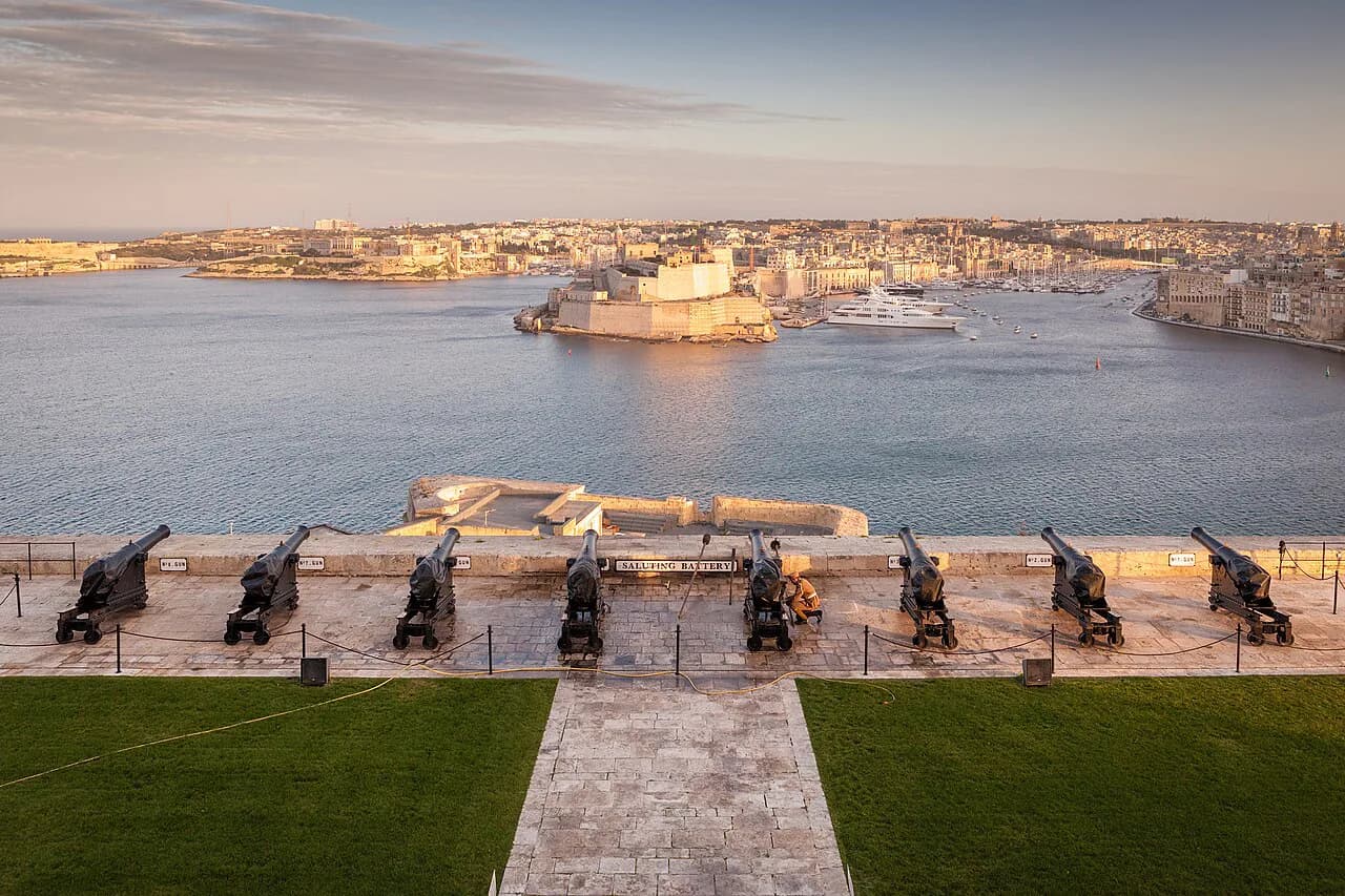
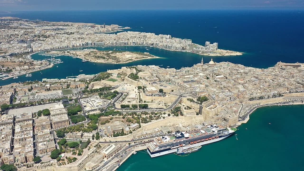
Valletta and the Grand Harbour
Valletta occupies a small peninsula on the central-east coast, laid out as a walkable grid that you can cross end to end in about 20 minutes on foot. That scale is the single most useful fact for planning a day: the capital rewards a morning and an afternoon without any transport at all.
Ferry terminals link Valletta with Sliema across the water in about 15 minutes, and with the Three Cities in about 10. Use the harbour as a shortcut rather than driving around it.
If your day in the capital is built around churches and palaces, the Things to Do in Malta guide covers St John's Co-Cathedral and the rest of the peninsula's sights.
Sliema and St Julian's on the seafront
Sliema and St Julian's form a continuous 3 km strip of seafront promenade immediately north of Valletta, and the two towns merge without a visible gap on the map. St Julian's contains Paceville, the main nightlife district.
On the map, this strip is the natural base for harbour crossings: the ferry link between Sliema and Valletta puts the capital one short hop away across the water. Walking the promenade end to end gives you a clear sense of how the two towns connect before you commit to a route.
Mellieħa and the north
The north of the main island holds the Ċirkewwa ferry port for Gozo, along with the sandy beaches clustered at Mellieħa Bay and along the west coast. The beach map concentrates most of Malta's sandy stretches here, while the south and east are mostly rocky coves and limestone platforms.
Plan the north and Gozo as one direction of travel. Heading to the ferry port at Ċirkewwa and continuing to Mġarr keeps you moving forwards instead of doubling back to the centre.
Mdina and Rabat at the centre
Mdina sits almost exactly at the geographic centre of Malta, which makes the walled city easy to combine with another area in a single day. Rabat adjoins it, and the Best Places to Visit in Malta, Grouped by Area guide shows how Mdina and Rabat slot in with the surrounding regions.
Because Mdina is inland rather than coastal, it pairs naturally with either the north or the south without a long detour. Slot it between Valletta and the ferry port, or between the airport and the west coast.
Marsaxlokk and the south
Southern Malta holds Marsaxlokk, the fishing village with its Sunday fish market, the Blue Grotto sea caves, the temples of Ħaġar Qim and Mnajdra, and the Dingli Cliffs. It is less built up than the north and makes for genuinely scenic drives between stops.
Distances between these stops are short on paper but the roads are slower than the scale suggests, so pick two or three rather than all four. The cave and rock-cut sites along this coast deserve their own stop.
The Three Cities across Grand Harbour
Birgu (Vittoriosa), Senglea (L-Isla) and Cospicua (Bormla) face Valletta across Grand Harbour and are reachable by ferry in about 10 minutes. Quieter than the capital, they hold Fort St Angelo and the Inquisitor's Palace.
The harbour ferry makes these three towns an easy half-day from Valletta rather than a separate excursion. Their street layout and fortifications reward a slow walk between the ferry landing and the waterfront.
Gozo on the map
Mġarr harbour sits on Gozo's southern tip, where the ferry from Ċirkewwa arrives, and Victoria lies at the island's centre. The island is compact enough that everything is within about 20 minutes by car.
Treat Victoria as your pivot: roads radiate from the capital to the coast and to villages such as Xagħra and Għarb. Because the island is small, you can cross it in a morning and still have the afternoon free.
Using Google Maps and offline maps on the ground
Download an offline map before you arrive so you are not dependent on mobile data while walking between villages or along the coast. An offline Malta map works without an internet connection, which matters when you are navigating on foot and roaming charges apply.
Use the map for orientation between zones, not for exact bus routes, which change. Check current schedules with the operator on the day rather than relying on a screenshot.
If you would rather not drive between the spread-out sites, a hop-on hop-off route covers the main zones in one loop. It suits a first orientation day more than a deep visit to any single place.
Distances and travel times that shape a day
The numbers on the map are small: 27 km long and 14 km wide for the main island, and about 45 km for the whole chain. What stretches a day is not distance but the number of stops you try to string together across the centre.
A workable pattern is one coastal zone plus one inland stop. Valletta with Mdina, or Marsaxlokk with the temples, beats an ambitious circuit that spends the afternoon in traffic.
Which part of the map should you base yourself in?
Base yourself where your days start and end: the Sliema and St Julian's strip for harbour crossings and the capital, or the north for Gozo and the ferry at Ċirkewwa. The centre around Mdina works if you plan to drive and want to reach both coasts.
Whichever you pick, plan by zone rather than by attraction list, and use the harbour ferries as shortcuts instead of long road detours.
Explore more Malta guides
Sources
Notes for your Malta trip
Optional updates when we add or correct a Malta or Gozo guide.
You might also like
Continue reading
More guides you'll find useful